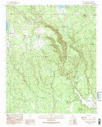
1991 Map of Big Lake South
USGS Topo · Published 1991About this map
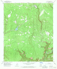
The Apache National Forest and the Fort Apache Indian Reservation meet in this highland landscape, defined by the headwaters of the Black River. High-altitude water management is evident at the southern edge of Big Lake, where a pump station, Substation, and Sewage Disposal Ponds support the Big Lake Recreation Area. The map reveals the imprint of early 20th-century industry through the remnant Railroad Grade winding through the forest, a hallmark of the region's logging history.
Find a feature on this map
42 named features on this map. Tap any name to fly to it.
Don’t see what you’re looking for? This feature index may not catch every label — zoom into the map to look around manually.
Map Details
Editions of this 1991 Big Lake South Map
2 editions found
Other maps of this area

1922 · Nutrioso
USGS Topo · 1:125,000

1954 · Clifton
USGS Topo · 1:250,000

1957 · Clifton
USGS Topo · 1:250,000

1958 · Clifton
USGS Topo · 1:250,000

1958 · Hannagan Meadow
USGS Topo · 1:62,500

1958 · Big Lake
USGS Topo · 1:62,500

1962 · Clifton
USGS Topo · 1:250,000
1967 · Bonito Rock
USGS Topo · 1:24,000
1967 · Mount Ord
USGS Topo · 1:24,000
1967 · Maverick
USGS Topo · 1:24,000