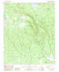
1991 Map of Big Lake South
USGS Topo · Published 1991About this map
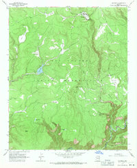
Conklin Ridge and the high mountain waters of the Black River define this high-elevation landscape within the Apache National Forest and the Fort Apache Indian Reservation. The 1991 documentation highlights a transition in land use, where former industrial infrastructure like the Old RR Grade and several Cinder Pits sit alongside developed recreation sites such as the Big Lake Recreation Area and West Fork Campground.
Find a feature on this map
44 named features on this map. Tap any name to fly to it.
Don’t see what you’re looking for? This feature index may not catch every label — zoom into the map to look around manually.
Map Details
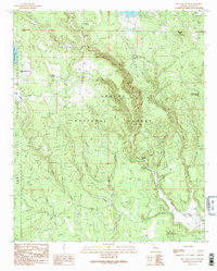
Editions of this 1991 Big Lake South Map
2 editions found
Other maps of this area

1922 · Nutrioso
USGS Topo · 1:125,000

1954 · Clifton
USGS Topo · 1:250,000

1957 · Clifton
USGS Topo · 1:250,000

1958 · Clifton
USGS Topo · 1:250,000

1958 · Hannagan Meadow
USGS Topo · 1:62,500

1958 · Big Lake
USGS Topo · 1:62,500

1962 · Clifton
USGS Topo · 1:250,000
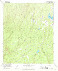
1967 · Bonito Rock
USGS Topo · 1:24,000
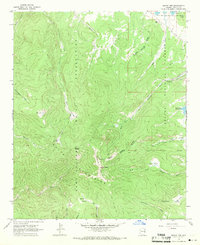
1967 · Mount Ord
USGS Topo · 1:24,000
1967 · Maverick
USGS Topo · 1:24,000