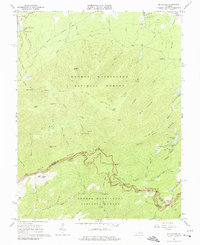
1965 Map of Big Levels
USGS Topo · Published 1977About this map
The Blue Ridge Parkway winds along the crest of the mountains in this mid-1960s survey, marking the boundary between Augusta and Nelson counties. The landscape is dominated by the George Washington National Forest, where steep ridges like Torry Ridge and Mine Bank Mtn define a terrain of deep drainages including the Saint Marys River. Local recreation and community life are visible at Shenandoah Acres and Camp Thunderbird, while the settlement of Love and the Mountain Top Ch sit along the southeastern edge. Industrial history is etched into the topography through a Dismantled Tramway near Johns Creek and scattered mines, suggesting a period when timber or mineral extraction was more active in these high elevations. Remote landmarks like the Lookout Tower on Bald Mountain and the White Rock Cem offer specific points of interest for those tracing family history or mountain navigation.
Find a feature on this map
72 named features on this map. Tap any name to fly to it.
Don’t see what you’re looking for? This feature index may not catch every label — zoom into the map to look around manually.
Map Details
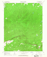
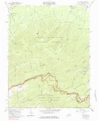
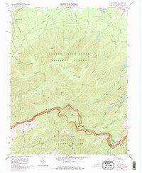
Editions of this 1965 Big Levels Map
4 editions found
Other maps of this area

1892 · Buckingham
USGS Topo · 1:125,000

1892 · Harrisonburg
USGS Topo · 1:125,000

1894 · Staunton
USGS Topo · 1:125,000

1894 · Lexington
USGS Topo · 1:125,000

1934 · Waynesboro
USGS Topo · 1:48,000

1936 · Vesuvius
USGS Topo · 1:48,000

1939 · Waynesboro
USGS Topo · 1:62,500

1941 · Vesuvius
USGS Topo · 1:62,500

1943 · Lovingston
USGS Topo · 1:62,500

1944 · Staunton
USGS Topo · 1:62,500