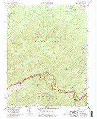
1965 Map of Big Levels
USGS Topo · Published 1984About this map
George Washington National Forest blankets this high-country landscape, defined by the winding spine of the Blue Ridge along the boundary of Augusta and Nelson Counties. The Blue Ridge Parkway traces the crest, offering access to numerous vistas such as the Twenty Minute Cliff Overlook, The Slacks Overlook, and The Priest Overlook. In the lower elevations, the recreational character of the mid-1960s is evident at Shenandoah Acres and Camp Thunderbird, while the isolated settlement of Love sits near the headwaters of the South Fork Rockfish River. Industrial history is etched into the terrain through the Coal Road and scattered Claypits. Small community anchors, including Rankin Ch and Mountain Top Ch, provide key reference points for genealogists and local historians studying the rural social fabric of this mountain region.
Find a feature on this map
61 named features on this map. Tap any name to fly to it.
Don’t see what you’re looking for? This feature index may not catch every label — zoom into the map to look around manually.
Map Details
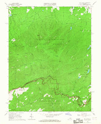
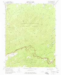
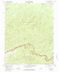
Editions of this 1965 Big Levels Map
4 editions found
Other maps of this area

1892 · Buckingham
USGS Topo · 1:125,000

1892 · Harrisonburg
USGS Topo · 1:125,000

1894 · Staunton
USGS Topo · 1:125,000

1894 · Lexington
USGS Topo · 1:125,000

1934 · Waynesboro
USGS Topo · 1:48,000

1936 · Vesuvius
USGS Topo · 1:48,000

1939 · Waynesboro
USGS Topo · 1:62,500

1941 · Vesuvius
USGS Topo · 1:62,500

1943 · Lovingston
USGS Topo · 1:62,500

1944 · Staunton
USGS Topo · 1:62,500