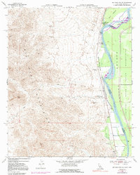
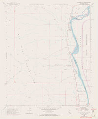
1955 Map of Big Maria Mts. SE
USGS Topo · Published 1991About this map
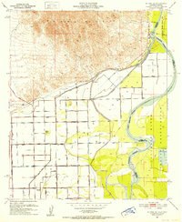
Ancient geoglyphs known as the Giant Indian Intaglios overlook the valley floor where the Colorado River carves the boundary between California and Arizona. This 1955 survey, updated with 1970 aerial photography, reveals a riverside landscape defined by a mix of mid-century recreation and rugged desert terrain. Small riverfront outposts like River Bend Lodge, Harkers Camp, and Thompsons Camp dot the western bank, while the eastern shore is dominated by the Colorado River Indian Reservation. The map captures the river's complex hydrology before extensive modern alteration, showing named landforms like Horse Island and Hall Island. Inland to the west, the Big Maria Mountains rise sharply, marked by various Prospect sites and the prominent Black Point, reflecting the region's mining and geological history.
Find a feature on this map
19 named features on this map. Tap any name to fly to it.
Don’t see what you’re looking for? This feature index may not catch every label — zoom into the map to look around manually.
Map Details
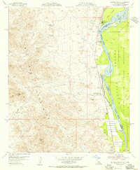
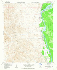
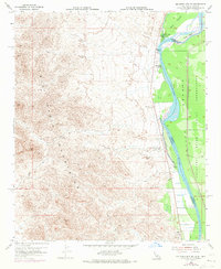
Editions of this 1955 Big Maria Mts. SE Map
6 editions found
Other maps of this area

1931 · Moon Mtn
USGS Topo · 1:62,500

1932 · Moon Mtn
USGS Topo · 1:62,500

1933 · Cunningham Mtn
USGS Topo · 1:48,000

1940 · Dome Rock Mts
USGS Topo · 1:62,500

1942 · Blythe
USGS Topo · 1:250,000

1942 · MOON MTN
USGS Topo · 1:62,500

1945 · Big Maria Mtns
USGS Topo · 1:62,500
1951 · Big Maria Mts
USGS Topo · 1:62,500
1951 · McCoy Wash
USGS Topo · 1:24,000
1951 · Blythe NE
USGS Topo · 1:24,000