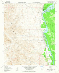
1955 Map of Big Maria Mts SE
USGS Topo · Published 1963About this map
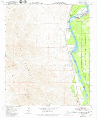
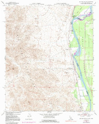
The Colorado River carves a fertile corridor through the arid desert landscape, serving as the fluid border between California and Arizona. This mid-century survey captures a riverside culture defined by seasonal fishing camps and recreational landings like River Bend Lodge, Hankers Camp, and the Blythe Boat Club. East of the river, the Colorado River Indian Reservation occupies the valley floor, while to the west, the desert floor rises sharply into the Big Maria Mountains.
Find a feature on this map
22 named features on this map. Tap any name to fly to it.
Don’t see what you’re looking for? This feature index may not catch every label — zoom into the map to look around manually.
Map Details
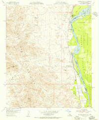
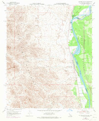
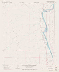
Editions of this 1955 Big Maria Mts SE Map
6 editions found
Other maps of this area

1931 · Moon Mtn
USGS Topo · 1:62,500

1932 · Moon Mtn
USGS Topo · 1:62,500

1933 · Cunningham Mtn
USGS Topo · 1:48,000

1940 · Dome Rock Mts
USGS Topo · 1:62,500

1942 · Blythe
USGS Topo · 1:250,000

1942 · MOON MTN
USGS Topo · 1:62,500

1945 · Big Maria Mtns
USGS Topo · 1:62,500

1951 · Big Maria Mts
USGS Topo · 1:62,500

1951 · McCoy Wash
USGS Topo · 1:24,000

1951 · Blythe NE
USGS Topo · 1:24,000