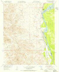
1955 Map of Big Maria Mts SE
USGS Topo · Published 1956About this map
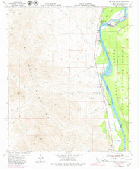
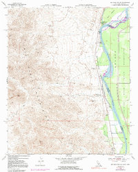
The Colorado River serves as the primary boundary between Riverside County, California and Yuma County, Arizona in this mid-century topographic record. While much of the landscape is dominated by the steep rises of the Big Maria Mountains, human activity is concentrated along the riverbank and within the Parker Indian Reservation. Notable cultural features include the Giant Indian Intaglios, a set of massive earth figures located near the river's edge.
Find a feature on this map
22 named features on this map. Tap any name to fly to it.
Don’t see what you’re looking for? This feature index may not catch every label — zoom into the map to look around manually.
Map Details
Editions of this 1955 Big Maria Mts SE Map
6 editions found
Other maps of this area

1931 · Moon Mtn
USGS Topo · 1:62,500

1932 · Moon Mtn
USGS Topo · 1:62,500

1933 · Cunningham Mtn
USGS Topo · 1:48,000

1940 · Dome Rock Mts
USGS Topo · 1:62,500

1942 · Blythe
USGS Topo · 1:250,000

1942 · MOON MTN
USGS Topo · 1:62,500

1945 · Big Maria Mtns
USGS Topo · 1:62,500

1951 · Big Maria Mts
USGS Topo · 1:62,500

1951 · McCoy Wash
USGS Topo · 1:24,000

1951 · Blythe NE
USGS Topo · 1:24,000