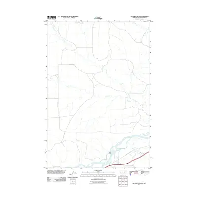
2011 Map of Big Marys Island
USGS Topo · Published 2011About this map
The Yellowstone River cuts across the southern portion of this landscape, defining a corridor of braided water channels and islands. Centered in this riparian zone is Big Marys Island, flanked by the steep drainage of Devils Gulch. This area in Yellowstone County illustrates the sharp transition from the fertile river bottom to the high, arid benches of the Montana plains.
Find a feature on this map
16 named features on this map. Tap any name to fly to it.
Don’t see what you’re looking for? This feature index may not catch every label — zoom into the map to look around manually.
Map Details
Editions of this 2011 Big Marys Island Map
This is the sole edition of this map. No revisions or reprints were ever made.
Other maps of this area

1893 · Huntley
USGS Topo · 1:125,000

1894 · Fort Custer
USGS Topo · 1:125,000

1954 · Billings
USGS Topo · 1:250,000

1954 · Hardin
USGS Topo · 1:250,000

1954 · Forsyth
USGS Topo · 1:250,000

1954 · Roundup
USGS Topo · 1:250,000

1957 · Hardin
USGS Topo · 1:250,000

1957 · Forsyth
USGS Topo · 1:250,000

1957 · Billings
USGS Topo · 1:250,000

1958 · Billings
USGS Topo · 1:250,000