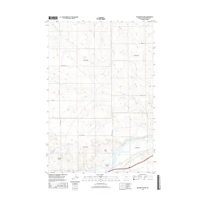
2017 Map of Big Marys Island
USGS Topo · Published 2017About this map
Yellowstone River frontage and the intricate irrigation works of the Huntley Main Canal define the southern border of this Yellowstone County landscape. The terrain north of the river is characterized by a network of drainage features, including the aptly named Lost Cabin Coulee and the deep incision of Devils Gulch. These natural landmarks provide a glimpse into the land-use patterns of eastern Montana, where water management and topography dictate the placement of ranch roads and section boundaries.
Find a feature on this map
18 named features on this map. Tap any name to fly to it.
Don’t see what you’re looking for? This feature index may not catch every label — zoom into the map to look around manually.
Map Details
Editions of this 2017 Big Marys Island Map
This is the sole edition of this map. No revisions or reprints were ever made.
Other maps of this area

1893 · Huntley
USGS Topo · 1:125,000

1894 · Fort Custer
USGS Topo · 1:125,000

1954 · Billings
USGS Topo · 1:250,000

1954 · Hardin
USGS Topo · 1:250,000

1954 · Forsyth
USGS Topo · 1:250,000

1954 · Roundup
USGS Topo · 1:250,000

1957 · Hardin
USGS Topo · 1:250,000

1957 · Forsyth
USGS Topo · 1:250,000

1957 · Billings
USGS Topo · 1:250,000

1958 · Billings
USGS Topo · 1:250,000