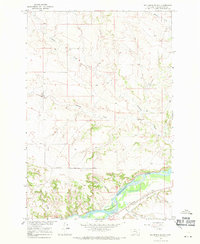
1967 Map of Big Marys Island
USGS Topo · Published 1971About this map
The Yellowstone River dominates this mid-century landscape in Yellowstone County, Montana, carving a wide path through the prairie terrain. At the center of this reach lies Big Marys Island, a large landform situated within the river's main channel. The map illustrates the sophisticated water management and transportation systems that defined the region's development during the late 1960s, including the Pacific Clark and Lewis Main Canal and the Northern Pacific railroad line.
Find a feature on this map
18 named features on this map. Tap any name to fly to it.
Don’t see what you’re looking for? This feature index may not catch every label — zoom into the map to look around manually.
Map Details
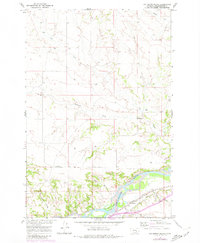
Editions of this 1967 Big Marys Island Map
2 editions found
Other maps of this area

1893 · Huntley
USGS Topo · 1:125,000

1894 · Fort Custer
USGS Topo · 1:125,000

1954 · Billings
USGS Topo · 1:250,000

1954 · Hardin
USGS Topo · 1:250,000

1954 · Forsyth
USGS Topo · 1:250,000

1954 · Roundup
USGS Topo · 1:250,000

1957 · Hardin
USGS Topo · 1:250,000

1957 · Forsyth
USGS Topo · 1:250,000

1957 · Billings
USGS Topo · 1:250,000

1958 · Billings
USGS Topo · 1:250,000