
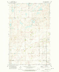
1974 Map of Big Meadow
USGS Topo · Published 1978About this map
Big Meadow and its expansive wetlands dominate this landscape in northwestern North Dakota, where the prairie meets a complex system of sloughs and basins. The terrain is defined by the broad depressions of South Meadow and Sauk Valley, highlighting a rural environment where land use is dictated by the water table and natural drainage. Social life in this Williams County area is anchored by scattered landmarks such as the Town Hall and religious sites including Stordahl Ch and Saint Olaf Ch.
Find a feature on this map
17 named features on this map. Tap any name to fly to it.
Don’t see what you’re looking for? This feature index may not catch every label — zoom into the map to look around manually.
Map Details
Editions of this 1974 Big Meadow Map
This is the sole edition of this map. No revisions or reprints were ever made.
Other maps of this area

1911 · Ray
USGS Topo · 1:125,000

1953 · Williston
USGS Topo · 1:250,000

1957 · Williston
USGS Topo · 1:250,000

1974 · Wildrose
USGS Topo · 1:24,000

1974 · Tom Berg Lake
USGS Topo · 1:24,000

1974 · Hamlet
USGS Topo · 1:24,000

1974 · McGregor
USGS Topo · 1:24,000
1974 · Bush Lake
USGS Topo · 1:24,000

1978 · Temple
USGS Topo · 1:24,000

1978 · Ray NW
USGS Topo · 1:24,000