
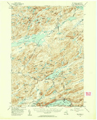
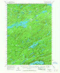
1954 Map of Big Moose
USGS Topo · Published 1958About this map
The Stillwater Reservoir dominates the western reaches of this mid-century survey, surrounded by the dense wilderness of the Adirondack State Park. This remote landscape is defined by its dependence on the New York Central Railroad, which threads through the interior to connect isolated settlements and stations. In an era before extensive road development, outposts such as Beaver River, Brandreth, and Keepawa functioned as critical nodes for both the local logging economy and the burgeoning recreation industry centered on the Adirondack Great Camps.
Find a feature on this map
137 named features on this map. Tap any name to fly to it.
Don’t see what you’re looking for? This feature index may not catch every label — zoom into the map to look around manually.
Map Details
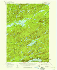
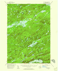
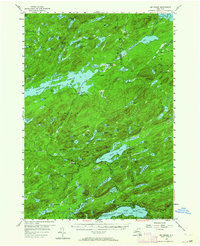
Editions of this 1954 Big Moose Map
6 editions found
Other maps of this area

1900 · Canada Lake
USGS Topo · 1:62,500

1901 · Old Forge
USGS Topo · 1:62,500

1903 · Big Moose
USGS Topo · 1:62,500

1903 · West Canada Lakes
USGS Topo · 1:62,500

1903 · Raquette Lake
USGS Topo · 1:62,500

1907 · Tupper Lake
USGS Topo · 1:62,500

1912 · Number Four
USGS Topo · 1:62,500

1912 · Mc Keever
USGS Topo · 1:62,500

1915 · Number Four
USGS Topo · 1:62,500

1916 · Oswegatchie
USGS Topo · 1:62,500