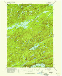
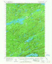
1954 Map of Big Moose
USGS Topo · Published 1959About this map
The New York Central railroad corridor defines the remote character of this Herkimer and Hamilton County landscape, serving as the primary artery through the Adirondack State Park wilderness. Small settlements and rail stops like Beaver River, Little Rapids, and Carter Station are positioned along the tracks, highlighting the era's reliance on rail for access to these deep woods and lakes. The central portion of the map is dominated by the Stillwater Reservoir and the sprawling Big Moose Lake, surrounded by landmarks such as Twitchell Mtn and Sugarloaf. To the south, the rail line connects to the Rondaxe Branch and the lakeside hub of Eagle Bay. This survey captures a moment when private estates and seasonal camps, including Brandreth and Camp Rondaxe, relied on a network of water and iron before the expansion of modern road systems.
Find a feature on this map
145 named features on this map. Tap any name to fly to it.
Don’t see what you’re looking for? This feature index may not catch every label — zoom into the map to look around manually.
Map Details
Editions of this 1954 Big Moose Map
6 editions found

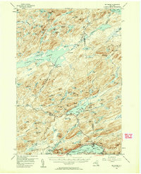
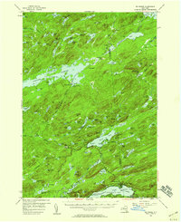
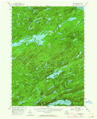
Other maps of this area

1900 · Canada Lake
USGS Topo · 1:62,500

1901 · Old Forge
USGS Topo · 1:62,500

1903 · Big Moose
USGS Topo · 1:62,500

1903 · West Canada Lakes
USGS Topo · 1:62,500

1903 · Raquette Lake
USGS Topo · 1:62,500

1907 · Tupper Lake
USGS Topo · 1:62,500

1912 · Number Four
USGS Topo · 1:62,500

1912 · Mc Keever
USGS Topo · 1:62,500

1915 · Number Four
USGS Topo · 1:62,500

1916 · Oswegatchie
USGS Topo · 1:62,500