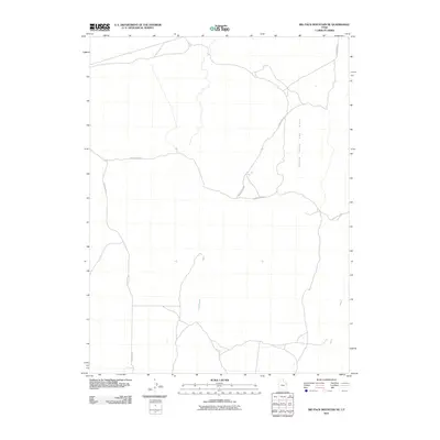
2011 Map of Big Pack Mountain NE
USGS Topo · Published 2011About this map
The Bitter Creek Gas Field dominates the eastern expanse of this Uintah County landscape, reflecting the intensive energy development characteristic of the region in the early 21st century. The map centers on a high-desert environment defined by seasonal drainage systems such as Cottonwood Wash and Sand Wash. Essential transport arteries for industrial and local access, including Glen Bench Rd, Bitter Creek Rd, and Seep Ridge Rd, crisscross the terrain to connect remote worksites and rangelands. This survey documents the infrastructure required to support the local extraction economy, showing the network of service roads and natural landmarks that define the area's modern geography.
Find a feature on this map
6 named features on this map. Tap any name to fly to it.
Don’t see what you’re looking for? This feature index may not catch every label — zoom into the map to look around manually.
Map Details
Editions of this 2011 Big Pack Mountain NE Map
This is the sole edition of this map. No revisions or reprints were ever made.
Other maps of this area

1885 · East Tavaputs
USGS Topo · 1:250,000

1885 · Ashley
USGS Topo · 1:250,000

1907 · Jensen
USGS Topo · 1:125,000

1910 · Jensen
USGS Topo · 1:125,000

1917 · Vernal
USGS Topo · 1:125,000

1954 · Vernal
USGS Topo · 1:250,000

1956 · Grand Junction
USGS Topo · 1:250,000

1958 · Vernal
USGS Topo · 1:250,000

1959 · Grand Junction
USGS Topo · 1:250,000

1960 · Vernal
USGS Topo · 1:250,000