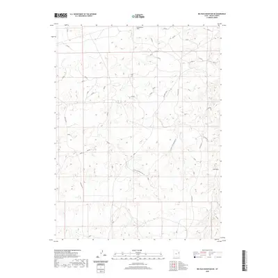
2020 Map of Big Pack Mountain NE
USGS Topo · Published 2020About this map
Cottonwood Wash and the drainage of Sand Wash define this desert landscape in the eastern Uinta Basin. The drainage patterns on this Uintah County survey illustrate a complex network of seasonal watercourses carved through high plateau country. Transportation is restricted to a few primary corridors, including the north-south transit of Seep Ridge Rd and the Glen Bench Rd system which connects with the Glen Bench Cutoff. These routes follow the topography of the benches, providing access through a region characterized more by its natural hydrology than by permanent settlements. Smaller arteries like Love Rd and W Sand Wash provide additional access to the interior, reflecting the area's continued use for resource management and ranching at the start of the 2020s.
Find a feature on this map
8 named features on this map. Tap any name to fly to it.
Don’t see what you’re looking for? This feature index may not catch every label — zoom into the map to look around manually.
Map Details
Editions of this 2020 Big Pack Mountain NE Map
This is the sole edition of this map. No revisions or reprints were ever made.
Other maps of this area

1885 · East Tavaputs
USGS Topo · 1:250,000

1885 · Ashley
USGS Topo · 1:250,000

1907 · Jensen
USGS Topo · 1:125,000

1910 · Jensen
USGS Topo · 1:125,000

1917 · Vernal
USGS Topo · 1:125,000

1954 · Vernal
USGS Topo · 1:250,000

1956 · Grand Junction
USGS Topo · 1:250,000

1958 · Vernal
USGS Topo · 1:250,000

1959 · Grand Junction
USGS Topo · 1:250,000

1960 · Vernal
USGS Topo · 1:250,000