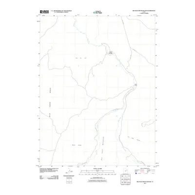
2011 Map of Big Pack Mountain NW
USGS Topo · Published 2011About this map
Willow Creek and Hill Creek meander through this section of the Uintah Basin, carving paths through the high desert terrain. The map illustrates a landscape shaped by both natural drainage and industrial energy development, centered on the Island Gas Field. The infrastructure of the era is defined by remote crossings and rugged transportation routes such as Seep Ridge Rd and the Turkey Trak. Notable landmarks include Squaw Crossing and the Black Bridge, which served as vital transit points over the winding waterways. The topography is dominated by massive elevated features like Big Pack Mountain and Wild Horse Bench, while the deep cuts of Brown Canyon and Jim Little Canyon demonstrate the erosive force of the high plateau's seasonal runoff.
Find a feature on this map
13 named features on this map. Tap any name to fly to it.
Don’t see what you’re looking for? This feature index may not catch every label — zoom into the map to look around manually.
Map Details
Editions of this 2011 Big Pack Mountain NW Map
This is the sole edition of this map. No revisions or reprints were ever made.
Other maps of this area

1885 · East Tavaputs
USGS Topo · 1:250,000

1885 · Ashley
USGS Topo · 1:250,000

1917 · Vernal
USGS Topo · 1:125,000

1953 · Nutters Hole
USGS Topo · 1:62,500

1954 · Vernal
USGS Topo · 1:250,000

1956 · Grand Junction
USGS Topo · 1:250,000

1958 · Vernal
USGS Topo · 1:250,000

1959 · Grand Junction
USGS Topo · 1:250,000

1960 · Vernal
USGS Topo · 1:250,000

1960 · Grand Junction
USGS Topo · 1:250,000