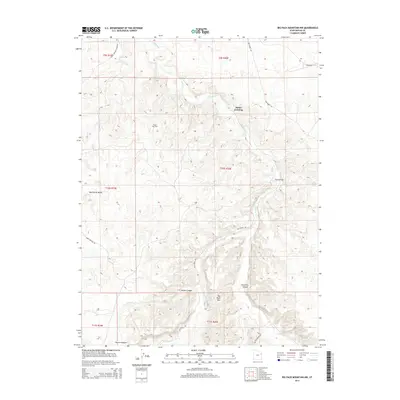
2014 Map of Big Pack Mountain NW
USGS Topo · Published 2014About this map
Island Gas Field and a network of desert routes define this portion of the Uinta Basin during the early 21st century. The landscape is dominated by the deeply incised drainages of Willow Creek and Hill Creek, which carve through the high plateaus of the Uintah and Ouray Reservation. Natural landmarks such as Big Pack Mountain and the expansive Wild Horse Bench characterize the area's elevation changes, while historical transit points like Squaw Crossing and the Black Bridge indicate long-established river crossings in an otherwise sparsely populated region. A complex system of access roads, including Hill Creek Rd and Seep Ridge Rd, connects the energy extraction sites within the various canyons, such as Brown Canyon and Jim Little Canyon, to the broader transport network of eastern Utah.
Find a feature on this map
21 named features on this map. Tap any name to fly to it.
Don’t see what you’re looking for? This feature index may not catch every label — zoom into the map to look around manually.
Map Details
Editions of this 2014 Big Pack Mountain NW Map
This is the sole edition of this map. No revisions or reprints were ever made.
Other maps of this area

1885 · East Tavaputs
USGS Topo · 1:250,000

1885 · Ashley
USGS Topo · 1:250,000

1917 · Vernal
USGS Topo · 1:125,000

1953 · Nutters Hole
USGS Topo · 1:62,500

1954 · Vernal
USGS Topo · 1:250,000

1956 · Grand Junction
USGS Topo · 1:250,000

1958 · Vernal
USGS Topo · 1:250,000

1959 · Grand Junction
USGS Topo · 1:250,000

1960 · Vernal
USGS Topo · 1:250,000

1960 · Grand Junction
USGS Topo · 1:250,000