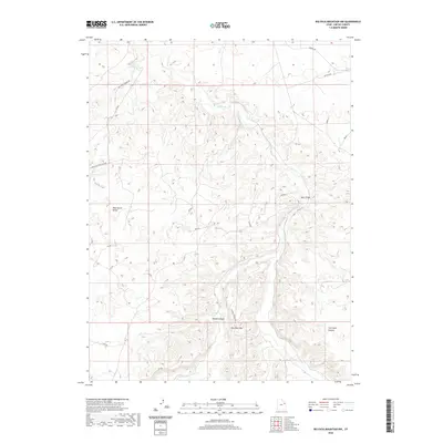
2020 Map of Big Pack Mountain NW
USGS Topo · Published 2020About this map
Big Pack Mtn and the intricate drainage systems of Willow Cr dominate this section of the Uintah Basin landscape. The terrain is defined by complex erosional patterns, where high plateaus like Wild Horse Bench drop away into deep cuts such as Brown Canyon and Jim Little Canyon. This area reflects a modern industrial and ranching geography, marked by the presence of the Nb Pipeline and a network of remote access routes including Wild Horse Bench Rd and Middle Rd. A notable point of human infrastructure in this largely uninhabited space is Black Bridge, which spans the creek along Co Rd 5120. The map illustrates the confluence of natural topography and utility-driven land use, showing how Hill Cr and its tributaries carve through the desert highlands.
Find a feature on this map
12 named features on this map. Tap any name to fly to it.
Don’t see what you’re looking for? This feature index may not catch every label — zoom into the map to look around manually.
Map Details
Editions of this 2020 Big Pack Mountain NW Map
This is the sole edition of this map. No revisions or reprints were ever made.
Other maps of this area

1885 · East Tavaputs
USGS Topo · 1:250,000

1885 · Ashley
USGS Topo · 1:250,000

1917 · Vernal
USGS Topo · 1:125,000

1953 · Nutters Hole
USGS Topo · 1:62,500

1954 · Vernal
USGS Topo · 1:250,000

1956 · Grand Junction
USGS Topo · 1:250,000

1958 · Vernal
USGS Topo · 1:250,000

1959 · Grand Junction
USGS Topo · 1:250,000

1960 · Vernal
USGS Topo · 1:250,000

1960 · Grand Junction
USGS Topo · 1:250,000