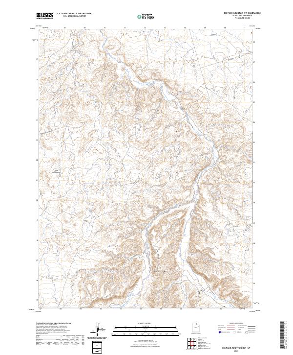
2023 Map of Big Pack Mountain NW
USGS Topo · Published 2023About this map
Willow Creek and Hill Creek carve deep, winding paths through the high desert of the Uintah Basin, defining the drainage patterns of this arid landscape. This modern survey illustrates the rugged physical geography of the region, where the prominent Big Pack Mtn rises above a series of named canyons and plateaus. Notable landforms like the expansive Wild Horse Bench and the drainages of Brown Canyon and Jim Little Canyon are mapped with precision. The map details a network of specialized access routes, including Lower Willow Creek Rd and the Wild Horse Bench Rd, which serve the remote ranching and energy infrastructure of eastern Utah. The presence of the NB Pipeline and various unpaved connectors like Middle Rd highlights the contemporary industrial and agricultural usage of these public and private lands.
Find a feature on this map
11 named features on this map. Tap any name to fly to it.
Don’t see what you’re looking for? This feature index may not catch every label — zoom into the map to look around manually.
Map Details
Editions of this 2023 Big Pack Mountain NW Map
This is the sole edition of this map. No revisions or reprints were ever made.
Other maps of this area

1885 · East Tavaputs
USGS Topo · 1:250,000

1885 · Ashley
USGS Topo · 1:250,000

1917 · Vernal
USGS Topo · 1:125,000

1953 · Nutters Hole
USGS Topo · 1:62,500

1954 · Vernal
USGS Topo · 1:250,000

1956 · Grand Junction
USGS Topo · 1:250,000

1958 · Vernal
USGS Topo · 1:250,000

1959 · Grand Junction
USGS Topo · 1:250,000

1960 · Vernal
USGS Topo · 1:250,000

1960 · Grand Junction
USGS Topo · 1:250,000