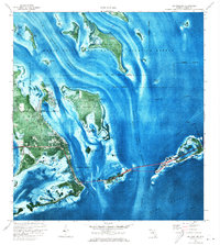
1972 Map of Big Pine Key
USGS Topo · Published 1973About this map
National Key Deer Refuge and the Great White Heron National Wildlife Refuge dominate this 1972 orthophotomap, which uses aerial photography to detail the intricate Florida Keys landscape. The map highlights the bridge connections across Spanish Harbor and the Bahia Honda Channel, where construction projects were underway to modernize the overseas route. Shoreline developments are evident at Doctors Arm and along the southern edge of Big Pine Key, where local landmarks like the Big Pine Chapel, St Peters Ch, and a Water Tank appear.
Find a feature on this map
47 named features on this map. Tap any name to fly to it.
Don’t see what you’re looking for? This feature index may not catch every label — zoom into the map to look around manually.
Map Details
Editions of this 1972 Big Pine Key Map
This is the sole edition of this map. No revisions or reprints were ever made.
Other maps of this area
1972 · East Bahia Honda Key
USGS Topo · 1:24,000

1972 · Loggerhead Key
USGS Topo · 1:24,000

1972 · Horseshoe Keys
USGS Topo · 1:24,000

1972 · Content Keys
USGS Topo · 1:24,000

1972 · Sevenmile Bridge
USGS Topo · 1:24,000
1972 · Summerland Key
USGS Topo · 1:24,000
1983 · Key West
USGS Topo · 1:100,000
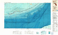
1989 · Key West
USGS Topo · 1:250,000
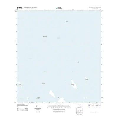
2012 · Horseshoe Keys
USGS Topo · 1:24,000

2012 · East Bahia Honda Key
USGS Topo · 1:24,000