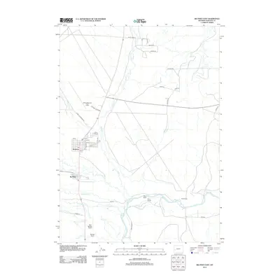
2012 Map of Big Piney East
USGS Topo · Published 2012About this map
Marbleton and Big Piney anchor this Sublette County landscape at the edge of the Wyoming range, where the high desert meets the irrigated plains of the Green River basin. The map reveals a high-altitude transportation and industrial corridor characterized by the Miley Memorial Field Airport and specialized roads like Energy Rd and Industrial, reflecting the region's historical reliance on mineral and natural gas extraction.
Find a feature on this map
41 named features on this map. Tap any name to fly to it.
Don’t see what you’re looking for? This feature index may not catch every label — zoom into the map to look around manually.
Map Details
Editions of this 2012 Big Piney East Map
This is the sole edition of this map. No revisions or reprints were ever made.
Other maps of this area

1939 · Big Piney
USGS Topo · 1:125,000

1942 · Big Piney
USGS Topo · 1:125,000

1955 · Preston
USGS Topo · 1:250,000

1955 · Lander
USGS Topo · 1:250,000

1958 · Lander
USGS Topo · 1:250,000

1958 · Preston
USGS Topo · 1:250,000

1961 · Lander
USGS Topo · 1:250,000

1962 · Preston
USGS Topo · 1:250,000

1964 · Ross Butte
USGS Topo · 1:24,000

1964 · Mesa Spring
USGS Topo · 1:24,000