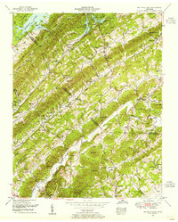
1952 Map of Big Ridge Park
USGS Topo · Published 1955About this map
Big Ridge State Park and the fluctuating shorelines of Norris Lake define this 1952 study of the ridge-and-valley topography where Union, Anderson, and Knox Counties meet. The landscape is a dense network of family-named gaps and knobs, including Malone Gap, McHaffie Gap, and Mitchell Knob, suggesting a deeply rooted rural settlement pattern. This period reveals a community tied to the land through numerous small institutions like Central View School and Macedonia Church, alongside infrastructure such as Loyston Dyke.
Find a feature on this map
83 named features on this map. Tap any name to fly to it.
Don’t see what you’re looking for? This feature index may not catch every label — zoom into the map to look around manually.
Map Details
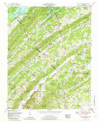
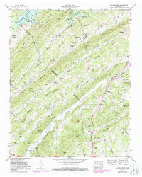
Editions of this 1952 Big Ridge Park Map
3 editions found
Other maps of this area

1893 · Briceville
USGS Topo · 1:125,000

1895 · Briceville
USGS Topo · 1:125,000

1896 · Briceville
USGS Topo · 1:125,000

1897 · Maynardville
USGS Topo · 1:125,000

1900 · Maynardville
USGS Topo · 1:125,000

1935 · Graveston
USGS Topo · 1:24,000

1935 · Fountain City
USGS Topo · 1:24,000

1936 · Gorryton
USGS Topo · 1:48,000

1936 · White Hollow
USGS Topo · 1:24,000
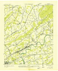
1936 · John Sevier
USGS Topo · 1:24,000