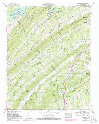
1952 Map of Big Ridge Park
USGS Topo · Published 1988About this map
Big Ridge State Park and the rising waters of Norris Lake define this landscape at the intersection of Union, Anderson, and Knox counties. Following the creation of the reservoir by the Tennessee Valley Authority, the map shows the emergence of New Loyston, a planned community established to replace the original town flooded by the dam project. The terrain is dominated by a series of parallel ridges, including Hinds Ridge and Chestnut Ridge, which dictate the placement of rural settlements and transport corridors like Tenn 33.
Find a feature on this map
102 named features on this map. Tap any name to fly to it.
Don’t see what you’re looking for? This feature index may not catch every label — zoom into the map to look around manually.
Map Details
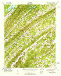
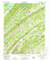
Editions of this 1952 Big Ridge Park Map
3 editions found
Other maps of this area

1893 · Briceville
USGS Topo · 1:125,000

1895 · Briceville
USGS Topo · 1:125,000

1896 · Briceville
USGS Topo · 1:125,000

1897 · Maynardville
USGS Topo · 1:125,000

1900 · Maynardville
USGS Topo · 1:125,000

1935 · Graveston
USGS Topo · 1:24,000

1935 · Fountain City
USGS Topo · 1:24,000

1936 · Gorryton
USGS Topo · 1:48,000

1936 · White Hollow
USGS Topo · 1:24,000
1936 · John Sevier
USGS Topo · 1:24,000