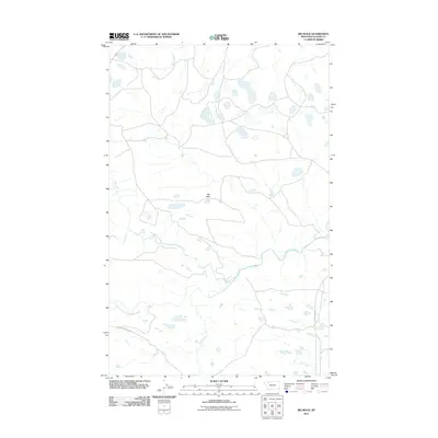
2011 Map of Big Rock
USGS Topo · Published 2011About this map
Big Rock stands as a focal point in this portion of Glacier County, where the plains meet the complex drainage systems of the eastern Rocky Mountain front. The landscape is defined by the winding course of the Two Medicine River and its major tributary, the South Fork Two Medicine River, which carve through the terrain alongside secondary waterways like Depot Creek and Deep Creek. This 2011 survey captures the area's rural character, emphasizing a transition from open range to established ranching landmarks like the Magee Ranch. Local transit is represented by a network of secondary routes including Heart Butte Rd and the Heart Butte Cutoff, providing essential connectivity through this high-plains environment near the Blackfeet Indian Reservation border. The map documents a sparse but vital human imprint, with named roads and family-associated ranches serving as the primary geographic anchors.
Find a feature on this map
10 named features on this map. Tap any name to fly to it.
Don’t see what you’re looking for? This feature index may not catch every label — zoom into the map to look around manually.
Map Details
Editions of this 2011 Big Rock Map
This is the sole edition of this map. No revisions or reprints were ever made.
Other maps of this area

1901 · Browning
USGS Topo · 1:125,000

1903 · Browning
USGS Topo · 1:125,000

1911 · Blackfoot
USGS Topo · 1:125,000

1913 · Marias Pass
USGS Topo · 1:125,000

1914 · Heart Butte
USGS Topo · 1:125,000

1918 · Heart Butte
USGS Topo · 1:125,000

1960 · Cut Bank
USGS Topo · 1:250,000

1963 · Cut Bank
USGS Topo · 1:250,000

1964 · Cut Bank
USGS Topo · 1:250,000

1968 · Half Dome Crag
USGS Topo · 1:24,000