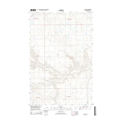
2014 Map of Big Rock
USGS Topo · Published 2014About this map
The Two Medicine River and its S Fork Two Medicine River dominate this portion of Glacier County, carving through a landscape defined by significant drainage systems and topographical rises. The namesake Big Rock stands as a prominent landmark north of the river, serving as a primary point of reference in this sparsely developed area. Transportation is concentrated in the southern sections, where the Heart Butte Cutoff and Heart Butte Rd provide access through the rolling terrain. Water features like Depot Cr and Deep Cr flow through the northern and southern quadrants, illustrating the complex watershed that feeds into the larger river systems of north-central Montana.
Find a feature on this map
13 named features on this map. Tap any name to fly to it.
Don’t see what you’re looking for? This feature index may not catch every label — zoom into the map to look around manually.
Map Details
Editions of this 2014 Big Rock Map
This is the sole edition of this map. No revisions or reprints were ever made.
Other maps of this area

1901 · Browning
USGS Topo · 1:125,000

1903 · Browning
USGS Topo · 1:125,000

1911 · Blackfoot
USGS Topo · 1:125,000

1913 · Marias Pass
USGS Topo · 1:125,000

1914 · Heart Butte
USGS Topo · 1:125,000

1918 · Heart Butte
USGS Topo · 1:125,000

1960 · Cut Bank
USGS Topo · 1:250,000

1963 · Cut Bank
USGS Topo · 1:250,000

1964 · Cut Bank
USGS Topo · 1:250,000

1968 · Half Dome Crag
USGS Topo · 1:24,000