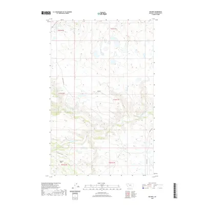
2020 Map of Big Rock
USGS Topo · Published 2020About this map
The Two Medicine River and its tributary, the S Fork Two Medicine River, carve a complex drainage system through this portion of Glacier County. The landscape is defined by its transition from the plains toward the high peaks, with the eastern edge of the Sawtooth Range appearing in the southwest corner. Significant named landmarks include the distinctive Big Rock formation and a series of perennial waterways such as Deep Creek, Elk Creek, and Depot Creek. Human presence is marked by a network of rural routes including Morning Gun West Rd and the Heart Butte Cutoff, which facilitate travel through this isolated terrain. The map also identifies the specifically located 32N12W36ADCC01 Spring, an essential water source for local ranching and wildlife management.
Find a feature on this map
17 named features on this map. Tap any name to fly to it.
Don’t see what you’re looking for? This feature index may not catch every label — zoom into the map to look around manually.
Map Details
Editions of this 2020 Big Rock Map
This is the sole edition of this map. No revisions or reprints were ever made.
Other maps of this area

1901 · Browning
USGS Topo · 1:125,000

1903 · Browning
USGS Topo · 1:125,000

1911 · Blackfoot
USGS Topo · 1:125,000

1913 · Marias Pass
USGS Topo · 1:125,000

1914 · Heart Butte
USGS Topo · 1:125,000

1918 · Heart Butte
USGS Topo · 1:125,000

1960 · Cut Bank
USGS Topo · 1:250,000

1963 · Cut Bank
USGS Topo · 1:250,000

1964 · Cut Bank
USGS Topo · 1:250,000

1968 · Half Dome Crag
USGS Topo · 1:24,000