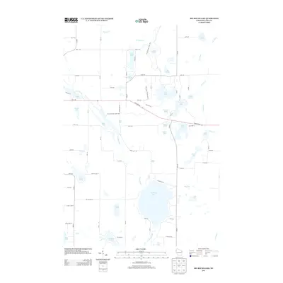
2013 Map of Big Round Lake
USGS Topo · Published 2013About this map
Big Round Lake and a dense network of glacial water bodies define this portion of Polk County. The landscape is characterized by a high concentration of small lakes and winding waterways, including the Clam River and the Straight River. This 2013 survey shows a primarily rural, residential, and recreational area, where the Ice Age National Scenic Trail winds through the terrain, passing landmarks such as McKenzie Lake and Little Ward Lake.
Find a feature on this map
76 named features on this map. Tap any name to fly to it.
Don’t see what you’re looking for? This feature index may not catch every label — zoom into the map to look around manually.
Map Details
Editions of this 2013 Big Round Lake Map
This is the sole edition of this map. No revisions or reprints were ever made.
Other maps of this area

1950 · Balsam Lake
USGS Topo · 1:62,500

1950 · Turtle Lake
USGS Topo · 1:62,500

1951 · Cumberland
USGS Topo · 1:48,000

1951 · Frederic
USGS Topo · 1:48,000

1952 · Turtle Lake
USGS Topo · 1:62,500

1953 · Stillwater
USGS Topo · 1:250,000

1955 · Frederic
USGS Topo · 1:62,500

1955 · Stillwater
USGS Topo · 1:250,000

1956 · Cumberland
USGS Topo · 1:62,500

1958 · Stillwater
USGS Topo · 1:250,000