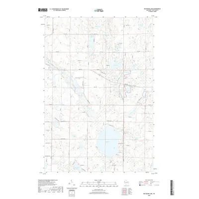
2018 Map of Big Round Lake
USGS Topo · Published 2018About this map
Glacial geology defines this portion of Polk County, where a dense network of kettle lakes and wetlands dominates the landscape. The Ice Age National Scenic Trail winds through the center of the map, tracing the terminal moraines and outwash plains that shaped the region. Large water bodies like Big Round Lake and McKenzie Lake are central features, surrounded by smaller, family-named or descriptive basins such as Rhinstad Lake and Sedge Lake. The Johnstown Cem is a key site for genealogical research, located near the eastern shore of Big Round Lake.
Find a feature on this map
64 named features on this map. Tap any name to fly to it.
Don’t see what you’re looking for? This feature index may not catch every label — zoom into the map to look around manually.
Map Details
Editions of this 2018 Big Round Lake Map
This is the sole edition of this map. No revisions or reprints were ever made.
Other maps of this area

1950 · Balsam Lake
USGS Topo · 1:62,500

1950 · Turtle Lake
USGS Topo · 1:62,500

1951 · Cumberland
USGS Topo · 1:48,000

1951 · Frederic
USGS Topo · 1:48,000

1952 · Turtle Lake
USGS Topo · 1:62,500

1953 · Stillwater
USGS Topo · 1:250,000

1955 · Frederic
USGS Topo · 1:62,500

1955 · Stillwater
USGS Topo · 1:250,000

1956 · Cumberland
USGS Topo · 1:62,500

1958 · Stillwater
USGS Topo · 1:250,000