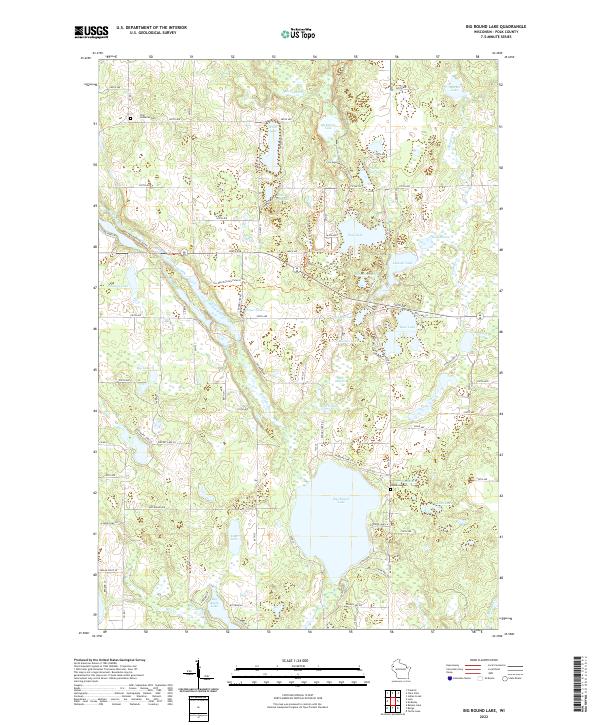
2022 Map of Big Round Lake
USGS Topo · Published 2022About this map
Big Round Lake dominates the central landscape of this Polk County region, serving as a focal point for a dense network of glacial water bodies and meandering waterways. To the east, Johnstown Cem marks a long-standing community footprint near Hay Lake and Loon Lake, while the Zion Lutheran Cem sits in the northern reaches of the quadrangle. The terrain is defined by the distinct corridors of the Straight River and the Clam River, which thread through a mosaic of smaller basins like Pickerel Lake and Depot Lake.
Find a feature on this map
67 named features on this map. Tap any name to fly to it.
Don’t see what you’re looking for? This feature index may not catch every label — zoom into the map to look around manually.
Map Details
Editions of this 2022 Big Round Lake Map
This is the sole edition of this map. No revisions or reprints were ever made.
Other maps of this area

1950 · Balsam Lake
USGS Topo · 1:62,500

1950 · Turtle Lake
USGS Topo · 1:62,500

1951 · Cumberland
USGS Topo · 1:48,000

1951 · Frederic
USGS Topo · 1:48,000

1952 · Turtle Lake
USGS Topo · 1:62,500

1953 · Stillwater
USGS Topo · 1:250,000

1955 · Frederic
USGS Topo · 1:62,500

1955 · Stillwater
USGS Topo · 1:250,000

1956 · Cumberland
USGS Topo · 1:62,500

1958 · Stillwater
USGS Topo · 1:250,000