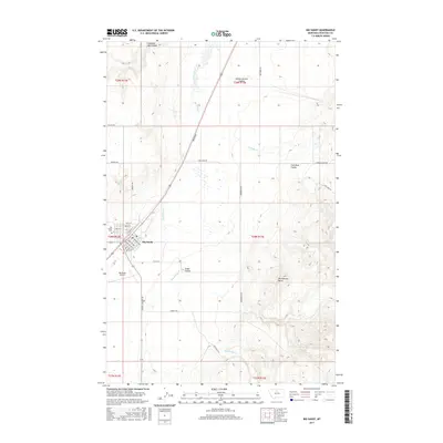
2017 Map of Big Sandy
USGS Topo · Published 2017About this map
Big Sandy serves as the central hub of this Chouteau County landscape, appearing as a compact grid of streets including Michigan Ave, Johannes Ave, and Lehfeldt Ave. The town is tied to the local agriculture and transport through a network of rural roads such as Judith Landing Rd and Kremlin Rd. To the west of the main settlement lies the Big Sandy Airport and the Big Sandy Cem, marking the edges of the township.
Find a feature on this map
40 named features on this map. Tap any name to fly to it.
Don’t see what you’re looking for? This feature index may not catch every label — zoom into the map to look around manually.
Map Details
Editions of this 2017 Big Sandy Map
This is the sole edition of this map. No revisions or reprints were ever made.
Other maps of this area

1904 · Boxelder
USGS Topo · 1:62,500

1906 · Boxelder
USGS Topo · 1:62,500

1919 · Big Sandy
USGS Topo · 1:125,000

1953 · Verona
USGS Topo · 1:24,000

1953 · Lonetree Coulee
USGS Topo · 1:24,000

1953 · Havre
USGS Topo · 1:250,000

1954 · Shelby
USGS Topo · 1:250,000

1957 · Havre
USGS Topo · 1:250,000

1958 · Shelby
USGS Topo · 1:250,000

1958 · Havre
USGS Topo · 1:250,000