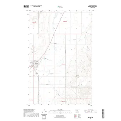
2020 Map of Big Sandy
USGS Topo · Published 2020About this map
Big Sandy serves as the central hub of this Chouteau County landscape, its grid defined by streets like Railroad St and Broadway. The town's local history is anchored by the Big Sandy Cem and the Big Sandy Airport, reflecting the community's mid-century infrastructure and long-standing roots. The surrounding terrain is heavily dissected by numerous watercourses and drainage features, most notably the winding Big Sandy Creek and several distinct coulees such as Snake Coulee and Lonesome Lake Coulee. The naming conventions of these features, like Coal Mine Coulee and Gorman Cr, point to the area's history of local resource extraction and early landholding. Further south, the elevation rises toward the prominent Rattlesnake Butte, illustrating the transition from the creek bottomlands to the higher breaks characteristic of north-central Montana.
Find a feature on this map
38 named features on this map. Tap any name to fly to it.
Don’t see what you’re looking for? This feature index may not catch every label — zoom into the map to look around manually.
Map Details
Editions of this 2020 Big Sandy Map
This is the sole edition of this map. No revisions or reprints were ever made.
Other maps of this area

1904 · Boxelder
USGS Topo · 1:62,500

1906 · Boxelder
USGS Topo · 1:62,500

1919 · Big Sandy
USGS Topo · 1:125,000

1953 · Verona
USGS Topo · 1:24,000

1953 · Lonetree Coulee
USGS Topo · 1:24,000

1953 · Havre
USGS Topo · 1:250,000

1954 · Shelby
USGS Topo · 1:250,000

1957 · Havre
USGS Topo · 1:250,000

1958 · Shelby
USGS Topo · 1:250,000

1958 · Havre
USGS Topo · 1:250,000