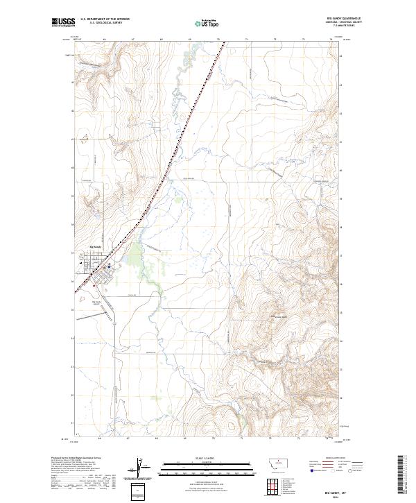
2024 Map of Big Sandy
USGS Topo · Published 2024About this map
Big Sandy serves as the focal point for this north-central Montana landscape, situated along the winding course of Big Sandy Creek. The town's grid is clearly defined, featuring local thoroughfares like Johannes Ave, Lehfeldt Ave, and Railroad St, reflecting its historic ties to transportation. To the west, the Big Sandy Airport and Big Sandy Cem mark the edge of the settlement before the terrain transitions into the vast grazing lands and coulees of Chouteau County.
Find a feature on this map
39 named features on this map. Tap any name to fly to it.
Don’t see what you’re looking for? This feature index may not catch every label — zoom into the map to look around manually.
Map Details
Editions of this 2024 Big Sandy Map
This is the sole edition of this map. No revisions or reprints were ever made.
Other maps of this area

1904 · Boxelder
USGS Topo · 1:62,500

1906 · Boxelder
USGS Topo · 1:62,500

1919 · Big Sandy
USGS Topo · 1:125,000

1953 · Verona
USGS Topo · 1:24,000

1953 · Lonetree Coulee
USGS Topo · 1:24,000

1953 · Havre
USGS Topo · 1:250,000

1954 · Shelby
USGS Topo · 1:250,000

1957 · Havre
USGS Topo · 1:250,000

1958 · Shelby
USGS Topo · 1:250,000

1958 · Havre
USGS Topo · 1:250,000