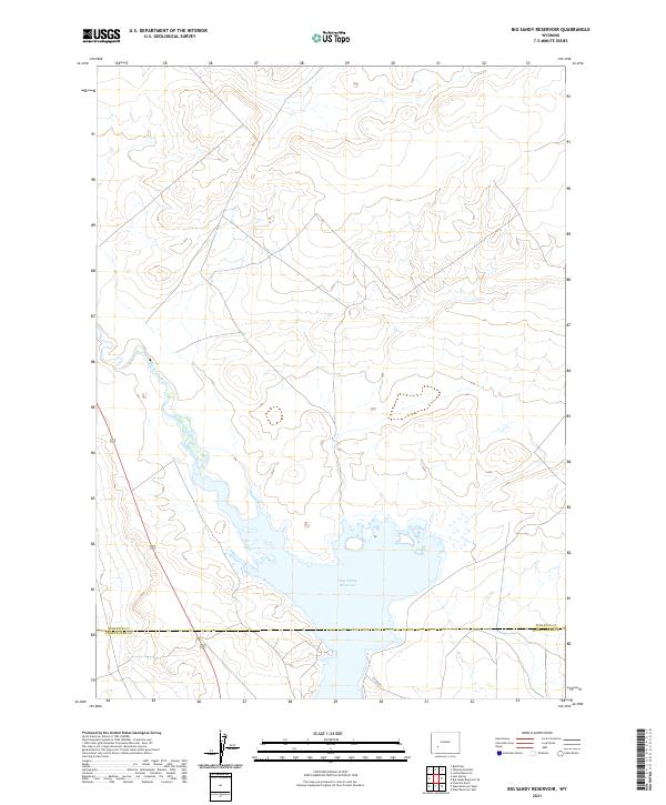
2021 Map of Big Sandy Reservoir
USGS Topo · Published 2021About this map
Big Sandy Reservoir dominates the southern landscape of this high-altitude Wyoming terrain, situated at the boundary of Sublette and Sweetwater Counties. The reservoir, formed along the Big Sandy River, serves as a critical point of water management and geography in this arid region. This 2021 survey shows the basin's complex shoreline and local access via Co RD 28, which skirts the southern edge of the water. The map detail highlights the river's path as it flows south from the upper elevations into the reservoir, revealing the natural hydrology that dictates human activity and land use in this part of the state.
Find a feature on this map
10 named features on this map. Tap any name to fly to it.
Don’t see what you’re looking for? This feature index may not catch every label — zoom into the map to look around manually.
Map Details
Editions of this 2021 Big Sandy Reservoir Map
This is the sole edition of this map. No revisions or reprints were ever made.
Other maps of this area

1955 · Lander
USGS Topo · 1:250,000

1958 · Lander
USGS Topo · 1:250,000

1961 · Lander
USGS Topo · 1:250,000

1968 · Eden Reservoir East
USGS Topo · 1:24,000
1968 · Eden Reservoir West
USGS Topo · 1:24,000
1968 · Fourmile Knoll
USGS Topo · 1:24,000
1969 · Juel Spring
USGS Topo · 1:24,000

1969 · Leckie Reservoir
USGS Topo · 1:24,000
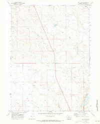
1969 · Bull Draw
USGS Topo · 1:24,000

1969 · Tabernacle Butte
USGS Topo · 1:24,000