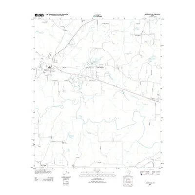
2012 Map of Big Sandy
USGS Topo · Published 2012About this map
Big Sandy serves as the primary hub on this map, situated where numerous local roads converge and the terrain begins its descent toward the wide river bottom. To the south, the Sabine River meanders in complex loops, creating a landscape of sloughs and basins including Green Lake and the smaller Carter Cr. This riparian environment contrasts with the northern elevations, marked by Pinnacle Mtn and the various creeks like Ballard Br and Big Sandy Cr that feed into the larger system.
Find a feature on this map
89 named features on this map. Tap any name to fly to it.
Don’t see what you’re looking for? This feature index may not catch every label — zoom into the map to look around manually.
Map Details
Editions of this 2012 Big Sandy Map
This is the sole edition of this map. No revisions or reprints were ever made.
Other maps of this area
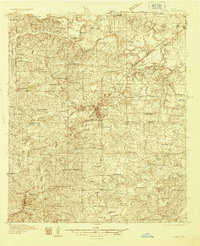
1936 · Kilgore
USGS Topo · 1:48,000
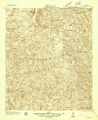
1938 · Winona
USGS Topo · 1:48,000
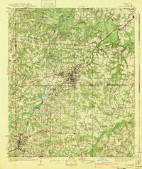
1940 · Kilgore
USGS Topo · 1:62,500
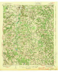
1943 · Winona
USGS Topo · 1:62,500

1956 · Tyler
USGS Topo · 1:250,000
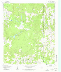
1960 · Shady Grove
USGS Topo · 1:24,000
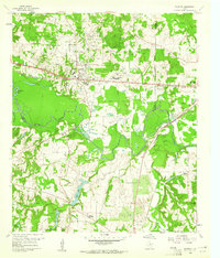
1960 · Hawkins
USGS Topo · 1:24,000
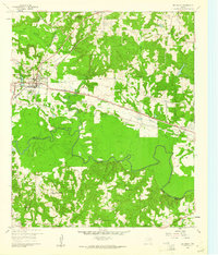
1960 · Big Sandy
USGS Topo · 1:24,000
1960 · Pritchett
USGS Topo · 1:24,000
1960 · Gilmer
USGS Topo · 1:24,000