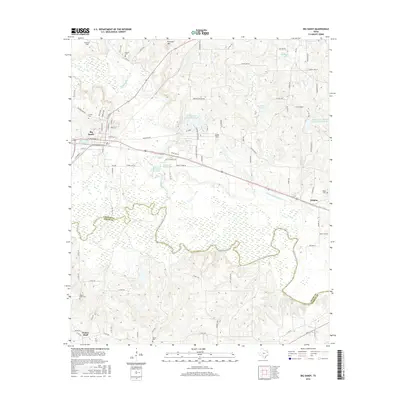
2016 Map of Big Sandy
USGS Topo · Published 2016About this map
Big Sandy serves as the focal point of this East Texas survey, where the town grid meets the winding course of Big Sandy Creek. The landscape is defined by the broad, marshy basin of the Sabine River which forms the southern boundary between Upshur and Smith Counties. This area is heavily influenced by water management, featuring several significant impoundments including the Ambassador College Reservoir, Longview Big Sandy Reservoir, and Reynolds Lake.
Find a feature on this map
97 named features on this map. Tap any name to fly to it.
Don’t see what you’re looking for? This feature index may not catch every label — zoom into the map to look around manually.
Map Details
Editions of this 2016 Big Sandy Map
This is the sole edition of this map. No revisions or reprints were ever made.
Other maps of this area

1936 · Kilgore
USGS Topo · 1:48,000

1938 · Winona
USGS Topo · 1:48,000

1940 · Kilgore
USGS Topo · 1:62,500

1943 · Winona
USGS Topo · 1:62,500

1956 · Tyler
USGS Topo · 1:250,000

1960 · Shady Grove
USGS Topo · 1:24,000

1960 · Hawkins
USGS Topo · 1:24,000

1960 · Big Sandy
USGS Topo · 1:24,000

1960 · Pritchett
USGS Topo · 1:24,000

1960 · Gilmer
USGS Topo · 1:24,000