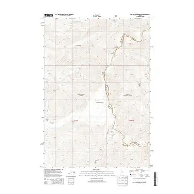
2013 Map of Big Soldier Mountain
USGS Topo · Published 2013About this map
Sulphur Creek Ranch and its associated Sulphur Creek Ranch Airport provide a rare point of human infrastructure in this high-elevation landscape within the Boise National Forest and Challis National Forest. The geography is defined by the steep drainage of the Middle Fork Salmon River, which forms a natural boundary alongside the administrative line between Valley and Custer counties. The presence of backcountry facilities like the Morgan Ranch Airport and the Boy Scout Camp Campground highlights the area's importance for wilderness access and recreation. High points such as Big Soldier Mtn and Morehead Mtn tower over a complex network of tributaries, including Sulphur Cr and Elkhorn Cr. This map documents a remote part of the Idaho wilderness where travel is largely restricted to forest roads like Dagger Falls Rd and isolated airstrips.
Find a feature on this map
43 named features on this map. Tap any name to fly to it.
Don’t see what you’re looking for? This feature index may not catch every label — zoom into the map to look around manually.
Map Details
Editions of this 2013 Big Soldier Mountain Map
This is the sole edition of this map. No revisions or reprints were ever made.
Other maps of this area

1891 · Bear Valley
USGS Topo · 1:125,000

1893 · Bear Valley
USGS Topo · 1:125,000

1957 · Challis
USGS Topo · 1:250,000

1960 · Challis
USGS Topo · 1:250,000

1961 · Greyhound Ridge
USGS Topo · 1:62,500

1961 · Chinook Mtn
USGS Topo · 1:62,500

1963 · Challis
USGS Topo · 1:250,000
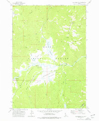
1972 · Blue Bunch Mtn
USGS Topo · 1:24,000
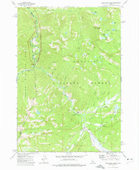
1972 · Cape Horn Lakes
USGS Topo · 1:24,000
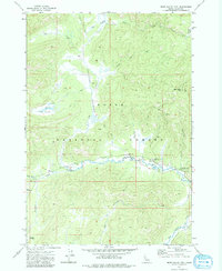
1972 · Bear Valley Mtn
USGS Topo · 1:24,000