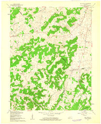
1961 Map of Big Spring
USGS Topo · Published 1962About this map
Big Spring sits at the unusual three-way juncture of Meade, Breckinridge, and Hardin counties, serving as a focal point for this rural Kentucky landscape during the early 1960s. The area is defined by a dense network of karst topography and winding valleys, most notably Stith Valley and Long Hollow, where small settlements like Bewleyville and Maples Corner developed along established county roads.
Find a feature on this map
22 named features on this map. Tap any name to fly to it.
Don’t see what you’re looking for? This feature index may not catch every label — zoom into the map to look around manually.
Map Details
Editions of this 1961 Big Spring Map
2 editions found
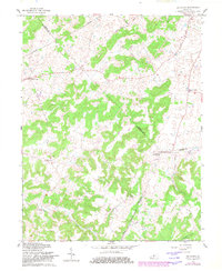
Other maps of this area

1928 · Hardinsburg
USGS Topo · 1:48,000

1931 · Hardinsburg
USGS Topo · 1:62,500

1932 · Big Clifty
USGS Topo · 1:62,500

1941 · Ekron
USGS Topo · 1:62,500

1946 · Rock Haven
USGS Topo · 1:24,000

1947 · Irvington
USGS Topo · 1:24,000

1947 · Garfield
USGS Topo · 1:24,000

1947 · Hardinsburg
USGS Topo · 1:62,500

1947 · Ekron
USGS Topo · 1:62,500
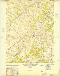
1948 · Guston
USGS Topo · 1:24,000