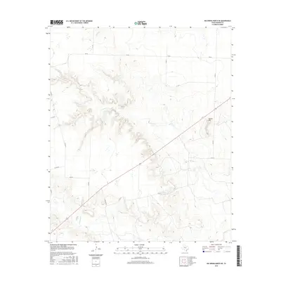
2016 Map of Big Spring North NE
USGS Topo · Published 2016About this map
Morgan Creek carves a complex network of drainage systems across this Howard County landscape, defining the rugged topography that characterizes this part of West Texas. The elevation rises to Flattop Mountain in the eastern portion of the map, a prominent landmark overlooking the surrounding plains. This 2016 survey documents a rural area heavily defined by its ranching infrastructure, where a grid of county roads and more significant thoroughfares like FM 846 and Ranch Road 820 provide access to remote acreage. Seasonal watercourses including Willow Creek and Wildhorse Creek snake through the terrain, indicating the importance of natural drainage in an arid environment. The map provides a detailed view of the modern land divisions and road networks that have shaped the county's development into the early 21st century.
Find a feature on this map
17 named features on this map. Tap any name to fly to it.
Don’t see what you’re looking for? This feature index may not catch every label — zoom into the map to look around manually.
Map Details
Editions of this 2016 Big Spring North NE Map
This is the sole edition of this map. No revisions or reprints were ever made.
Other maps of this area

1942 · Big Spring North
USGS Topo · 1:62,500

1951 · Ira SW
USGS Topo · 1:24,000

1951 · Vincent
USGS Topo · 1:24,000

1951 · Iatan
USGS Topo · 1:24,000

1952 · Iatan
USGS Topo · 1:24,000

1954 · Big Spring
USGS Topo · 1:250,000

1954 · Big Spring North
USGS Topo · 1:24,000

1954 · Big Spring North NE
USGS Topo · 1:24,000

1958 · Big Spring
USGS Topo · 1:250,000

1965 · Big Spring North
USGS Topo · 1:24,000