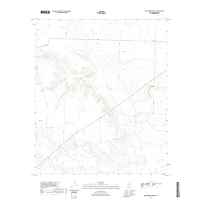
2019 Map of Big Spring North NE
USGS Topo · Published 2019About this map
Flattop Mtn stands as a prominent elevation in this north-central Texas landscape, overlooking a series of drainage systems that define the area's hydrology. The sheet captures the intricate winding of Morgan Creek through the central and eastern sections, while Wildhorse Creek and Willow Creek navigate the surrounding terrain. This is a region defined by its ranching infrastructure and rural transport network, where a grid of county roads and specific routes like Ranch Rd 820 and FM 846 connect isolated homesteads and parcels. The topographic detail reveals a complex system of draws and breaks leading toward the creeks, illustrating the erosional patterns common in this part of Howard County. Researchers can examine the interplay between these natural watercourses and the established livestock-scale land management systems of the late 2010s.
Find a feature on this map
17 named features on this map. Tap any name to fly to it.
Don’t see what you’re looking for? This feature index may not catch every label — zoom into the map to look around manually.
Map Details
Editions of this 2019 Big Spring North NE Map
This is the sole edition of this map. No revisions or reprints were ever made.
Other maps of this area

1942 · Big Spring North
USGS Topo · 1:62,500

1951 · Ira SW
USGS Topo · 1:24,000

1951 · Vincent
USGS Topo · 1:24,000

1951 · Iatan
USGS Topo · 1:24,000

1952 · Iatan
USGS Topo · 1:24,000

1954 · Big Spring
USGS Topo · 1:250,000

1954 · Big Spring North
USGS Topo · 1:24,000

1954 · Big Spring North NE
USGS Topo · 1:24,000

1958 · Big Spring
USGS Topo · 1:250,000

1965 · Big Spring North
USGS Topo · 1:24,000