Loading...
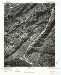
Loading map...1976 Map of Big Stone Gap
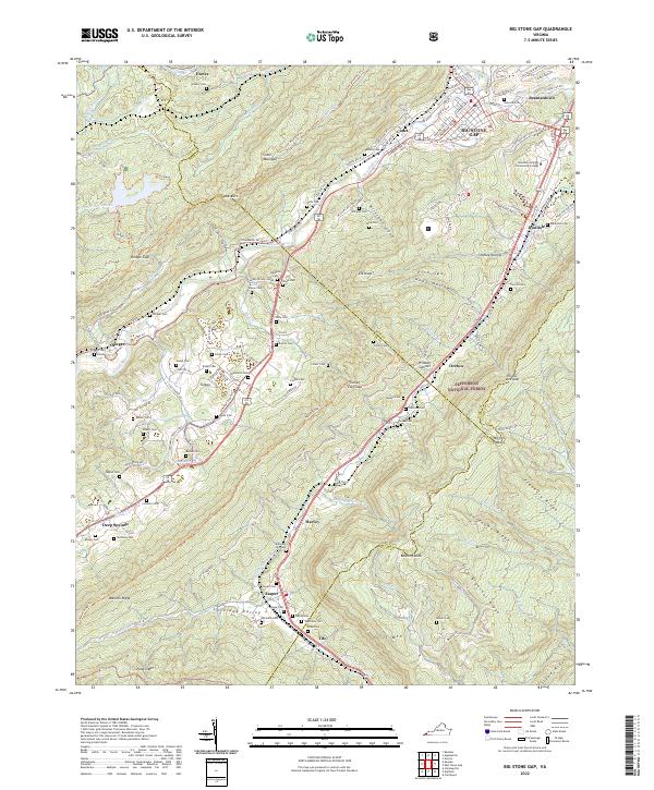
USGS Topo · Published 1981About this map
Big Stone Gap and its industrial surroundings are captured here during a period of significant topographic transition in Wise County. The intricate network of valleys is defined by the Powell River and the North Fork Clinch River, which carve through the steep ridges of the Appalachians. To the west, the man-made Lake Keokee serves as a prominent landmark amidst the high-relief terrain.
Find a feature on this map
15 named features on this map. Tap any name to fly to it.
Don’t see what you’re looking for? This feature index may not catch every label — zoom into the map to look around manually.
Map Details
Date Portrayed1976
Date Published1981
PublisherU.S. Geological Survey
Map TypeTopographic
Scale1:24,000
Physical Dimensions22 x 26.8 inches
Editions of this 1976 Big Stone Gap Map
This is the sole edition of this map. No revisions or reprints were ever made.
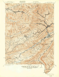
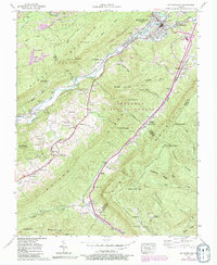
Historical Maps of Big Stone Gap Through Time
6 maps found


Featured Locations
Source Details
SourceU.S. Geological Survey
CopyrightPublic Domain