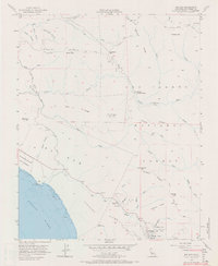
1956 Map of Big Sur
USGS Topo · Published 1970About this map
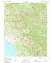
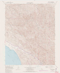
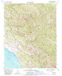
Pfeiffer Big Sur State Park and the rugged coastal mountains of Monterey County define this mid-century look at the California coast. The map illustrates a landscape transitioning from the coastal terrace of El Sur into the high ridges of the Los Padres National Forest. Cultural landmarks like the Pico Blanco Boy Scout Camp and Jackson Camp are located deep within the interior, accessible only via the Skinner Trail and other mountain paths. Along the shoreline, the California Sea Otter State Game Refuge extends into the Pacific Ocean, while the original transport corridor of the Old Coast Road winds through the hills above State Route 1. The map captures the complex topography of Pico Blanco and the headwaters of the Little Sur River, reflecting the isolation of the Santa Lucia Range before the era of intensive tourism.
Find a feature on this map
83 named features on this map. Tap any name to fly to it.
Don’t see what you’re looking for? This feature index may not catch every label — zoom into the map to look around manually.
Map Details
Editions of this 1956 Big Sur Map
7 editions found
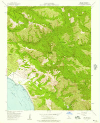
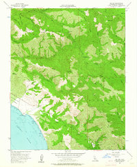
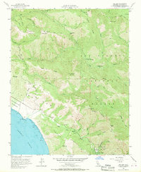
Other maps of this area

1918 · Point Sur
USGS Topo · 1:62,500

1920 · Jamesburg
USGS Topo · 1:48,000

1921 · Jamesburg
USGS Topo · 1:62,500

1921 · Lucia
USGS Topo · 1:62,500

1925 · Point Sur
USGS Topo · 1:62,500

1939 · Jamesburg
USGS Topo · 1:62,500

1940 · Jamesburg
USGS Topo · 1:62,500

1941 · Lucia
USGS Topo · 1:62,500

1947 · Lucia
USGS Topo · 1:62,500

1947 · Jamesburg
USGS Topo · 1:62,500