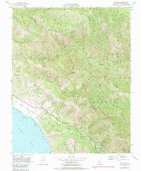
1956 Map of Big Sur
USGS Topo · Published 1984About this map
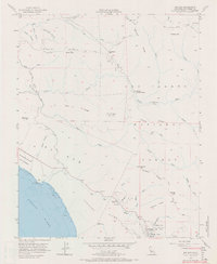
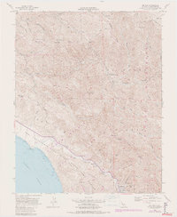
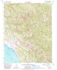
Pfeiffer Big Sur State Park and the rugged Central Coast coastline anchor this mid-century topographic record. The map reveals a transition between established recreational sites like the Pico Blanco Boy Scout Camp and the wild interior of the Los Padres National Forest. Water is the defining force of the landscape, from the dramatic mouth of Bixby Creek to the inland Pfeiffer Falls. While modern developments appear in purple revisions from the early 1980s, the underlying survey preserves the earlier infrastructure of the 1950s, including the winding path of the Old Coast Road and remote landmarks like Comings Cabin. The sheer verticality of the Santa Lucia Range is evident in the steep canyons of the South Fork Little Sur River and the towering heights of Pico Blanco, providing a precise look at the geography before the expansion of modern wilderness management.
Find a feature on this map
51 named features on this map. Tap any name to fly to it.
Don’t see what you’re looking for? This feature index may not catch every label — zoom into the map to look around manually.
Map Details
Editions of this 1956 Big Sur Map
7 editions found
Other maps of this area

1918 · Point Sur
USGS Topo · 1:62,500

1920 · Jamesburg
USGS Topo · 1:48,000

1921 · Jamesburg
USGS Topo · 1:62,500

1921 · Lucia
USGS Topo · 1:62,500

1925 · Point Sur
USGS Topo · 1:62,500

1939 · Jamesburg
USGS Topo · 1:62,500

1940 · Jamesburg
USGS Topo · 1:62,500

1941 · Lucia
USGS Topo · 1:62,500

1947 · Lucia
USGS Topo · 1:62,500

1947 · Jamesburg
USGS Topo · 1:62,500