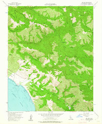
1956 Map of Big Sur
USGS Topo · Published 1962About this map
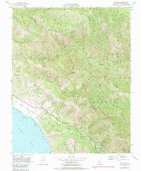
Pfeiffer Big Sur State Park and the surrounding reaches of the Los Padres National Forest define this mid-century coastal landscape. The map details the transition from the Pacific Ocean shoreline, including The California Sea Otter State Game Refuge, into the steep drainages of the Little Sur River and Big Sur River. Settlement is sparse, represented by the coastal village of Big Sur and isolated outposts like Comings Cabin or Pico Blanco Boy Scout Camp.
Find a feature on this map
48 named features on this map. Tap any name to fly to it.
Don’t see what you’re looking for? This feature index may not catch every label — zoom into the map to look around manually.
Map Details
Editions of this 1956 Big Sur Map
7 editions found
Other maps of this area

1918 · Point Sur
USGS Topo · 1:62,500

1920 · Jamesburg
USGS Topo · 1:48,000

1921 · Jamesburg
USGS Topo · 1:62,500

1921 · Lucia
USGS Topo · 1:62,500

1925 · Point Sur
USGS Topo · 1:62,500

1939 · Jamesburg
USGS Topo · 1:62,500

1940 · Jamesburg
USGS Topo · 1:62,500

1941 · Lucia
USGS Topo · 1:62,500

1947 · Lucia
USGS Topo · 1:62,500

1947 · Jamesburg
USGS Topo · 1:62,500