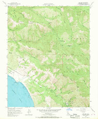
1956 Map of Big Sur
USGS Topo · Published 1970About this map
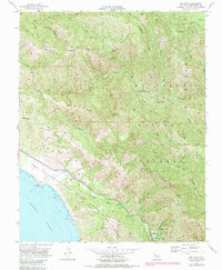
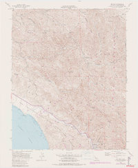
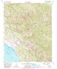
Pico Blanco dominates the skyline in this mid-century survey of the Monterey coast, serving as a focal point for the complex drainage systems of the Little Sur River and the Big Sur River. The landscape is a mix of protected wildlands and remote outposts, including Pico Blanco Boy Scout Camp and Jackson Camp along the river forks. Coastal access is defined by the winding path of the Old Coast Road and the Sierra Grade, which provided essential transit before the modern highway system fully reshaped the region's accessibility.
Find a feature on this map
49 named features on this map. Tap any name to fly to it.
Don’t see what you’re looking for? This feature index may not catch every label — zoom into the map to look around manually.
Map Details
Editions of this 1956 Big Sur Map
7 editions found
Other maps of this area

1918 · Point Sur
USGS Topo · 1:62,500

1920 · Jamesburg
USGS Topo · 1:48,000

1921 · Jamesburg
USGS Topo · 1:62,500

1921 · Lucia
USGS Topo · 1:62,500

1925 · Point Sur
USGS Topo · 1:62,500

1939 · Jamesburg
USGS Topo · 1:62,500

1940 · Jamesburg
USGS Topo · 1:62,500

1941 · Lucia
USGS Topo · 1:62,500

1947 · Lucia
USGS Topo · 1:62,500

1947 · Jamesburg
USGS Topo · 1:62,500