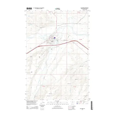
2014 Map of Big Timber
USGS Topo · Published 2014About this map
The confluence of the Yellowstone River and the Boulder River anchors the settlement of Big Timber, showing the town's position at a vital Montana water junction. This 2014 survey details the local street grid, including Yellowstone Ave and Railroad St, alongside infrastructure like the Old Boulder Bridge. The topography is defined by significant coulees and gulches that channel water from higher elevations, such as Fyfe Coulee and Stopher Gulch, into the primary river basins.
Find a feature on this map
69 named features on this map. Tap any name to fly to it.
Don’t see what you’re looking for? This feature index may not catch every label — zoom into the map to look around manually.
Map Details
Editions of this 2014 Big Timber Map
This is the sole edition of this map. No revisions or reprints were ever made.
Other maps of this area

1891 · Livingston
USGS Topo · 1:250,000

1891 · Big Timber
USGS Topo · 1:125,000

1893 · Livingston
USGS Topo · 1:250,000

1893 · Big Timber
USGS Topo · 1:125,000

1947 · Bozeman
USGS Topo · 1:250,000

1948 · Bozeman
USGS Topo · 1:250,000
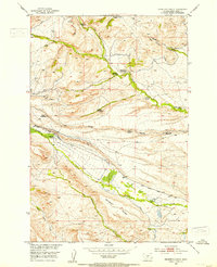
1951 · Grosfield Ranch
USGS Topo · 1:24,000
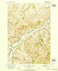
1951 · Mc Leod
USGS Topo · 1:24,000
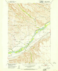
1951 · Carney
USGS Topo · 1:24,000

1954 · Big Timber
USGS Topo · 1:24,000