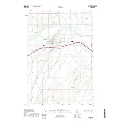
2020 Map of Big Timber
USGS Topo · Published 2020About this map
Big Timber sits at the confluence of the Yellowstone River and the Boulder River, serving as the civic anchor of the region with the Sweet Grass County Courthouse at its center. The town's grid is dense with named streets like McLeod St and Harris St, extending toward the Old Boulder Bridge and the Big Timber Airport. This survey reveals a landscape deeply defined by water management and ranching infrastructure, evidenced by the intricate network of irrigation channels such as the Electric Light Ditch, Post-Kellogg Ditch, and Mauland-Westervelt Ditch.
Find a feature on this map
85 named features on this map. Tap any name to fly to it.
Don’t see what you’re looking for? This feature index may not catch every label — zoom into the map to look around manually.
Map Details
Editions of this 2020 Big Timber Map
This is the sole edition of this map. No revisions or reprints were ever made.
Other maps of this area

1891 · Livingston
USGS Topo · 1:250,000

1891 · Big Timber
USGS Topo · 1:125,000

1893 · Livingston
USGS Topo · 1:250,000

1893 · Big Timber
USGS Topo · 1:125,000

1947 · Bozeman
USGS Topo · 1:250,000

1948 · Bozeman
USGS Topo · 1:250,000
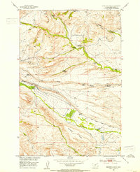
1951 · Grosfield Ranch
USGS Topo · 1:24,000
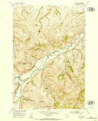
1951 · Mc Leod
USGS Topo · 1:24,000
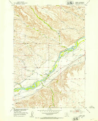
1951 · Carney
USGS Topo · 1:24,000

1954 · Big Timber
USGS Topo · 1:24,000