
1893 Map of Big Timber
USGS Topo · Published 1893About this map
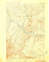
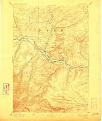
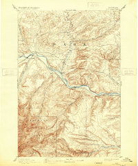
The Northern Pacific Railroad corridor serves as the primary artery through this Montana landscape, tracing the southern bank of the Yellowstone River during a period of early territorial development. Surveyed in 1889 by A.H. Thompson and Frank Tweedy, the map documents the critical transit points that enabled settlement, most notably Big Timber at the confluence of the Boulder River. The inclusion of the Harrison Ferry illustrates the era's reliance on river crossings before permanent bridges dominated the valley.
Find a feature on this map
23 named features on this map. Tap any name to fly to it.
Don’t see what you’re looking for? This feature index may not catch every label — zoom into the map to look around manually.
Map Details
Editions of this 1893 Big Timber Map
4 editions found
Other maps of this area

1886 · Little Belt Mts.
USGS Topo · 1:250,000

1889 · Big Snowy Mountain
USGS Topo · 1:250,000

1891 · Livingston
USGS Topo · 1:250,000

1891 · Big Timber
USGS Topo · 1:125,000

1892 · Stillwater
USGS Topo · 1:125,000

1893 · Livingston
USGS Topo · 1:250,000

1893 · Big Snowy Mountain
USGS Topo · 1:250,000

1894 · Little Belt Mts.
USGS Topo · 1:250,000

1897 · Little Belt Mts.
USGS Topo · 1:250,000

1898 · Granite Mountain District
USGS Topo · 1:125,000