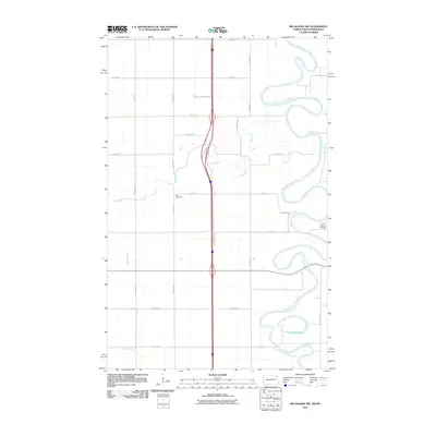
2011 Map of Big Woods NW
USGS Topo · Published 2011About this map
The Red River of the North winds in complex oxbows along the border of Walsh County, defining the eastern edge of this agricultural landscape. This portion of the Red River Valley shows a highly organized section-line road network, where long-established burial grounds like Zion Cemetery and Saint Joseph's Cemetery serve as landmarks for the surrounding rural community. The Park River meanders across the center of the sheet before joining the larger river system, while smaller waterways such as Dipple Drain and the cutoff Horseshoe Lake illustrate the area's natural drainage and hydrological history. The proximity of Interstate 29 running parallel to the older county routes like County Rd 2 highlights the evolution of transit in this fertile borderland region during the early 21st century.
Find a feature on this map
22 named features on this map. Tap any name to fly to it.
Don’t see what you’re looking for? This feature index may not catch every label — zoom into the map to look around manually.
Map Details
Editions of this 2011 Big Woods NW Map
This is the sole edition of this map. No revisions or reprints were ever made.
Other maps of this area
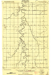
1918 · Acton
USGS Topo · 1:62,500
1939 · Drayton
USGS Topo · 1:62,500
1939 · Glasston
USGS Topo · 1:62,500
1941 · Drayton
USGS Topo · 1:62,500
1941 · Glasston
USGS Topo · 1:62,500
1943 · Grafton
USGS Topo · 1:62,500

1952 · Thief River Falls
USGS Topo · 1:250,000

1956 · Thief River Falls
USGS Topo · 1:250,000

1957 · Thief River Falls
USGS Topo · 1:250,000
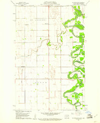
1960 · Big Woods NW
USGS Topo · 1:24,000