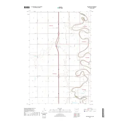
2017 Map of Big Woods NW
USGS Topo · Published 2017About this map
The Red River of the North winds in sharp, serpentine loops across the eastern edge of this landscape, forming the natural boundary between North Dakota and Minnesota. This portion of Walsh County is defined by its fertile agricultural grid, where the Park River cuts a meandering path toward its confluence with the Red. The rural character of the area is underscored by the presence of local landmarks such as Zion Cem near the center of the sheet and Saint Joseph's Cem further east, reflecting the established community roots of the late twentieth century. In the southeast, a prominent oxbow formation is visible at Horseshoe Lake, illustrating the dynamic nature of the river's movement over time. The drainage patterns, including the Dipple Drain, highlight the region's managed water systems essential for its extensive plains farming.
Find a feature on this map
32 named features on this map. Tap any name to fly to it.
Don’t see what you’re looking for? This feature index may not catch every label — zoom into the map to look around manually.
Map Details
Editions of this 2017 Big Woods NW Map
This is the sole edition of this map. No revisions or reprints were ever made.
Other maps of this area
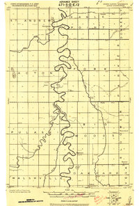
1918 · Acton
USGS Topo · 1:62,500
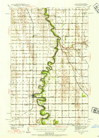
1939 · Drayton
USGS Topo · 1:62,500
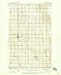
1939 · Glasston
USGS Topo · 1:62,500
1941 · Drayton
USGS Topo · 1:62,500
1941 · Glasston
USGS Topo · 1:62,500
1943 · Grafton
USGS Topo · 1:62,500

1952 · Thief River Falls
USGS Topo · 1:250,000

1956 · Thief River Falls
USGS Topo · 1:250,000

1957 · Thief River Falls
USGS Topo · 1:250,000
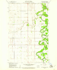
1960 · Big Woods NW
USGS Topo · 1:24,000