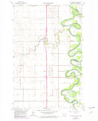
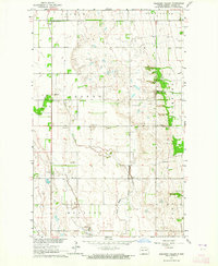
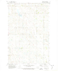
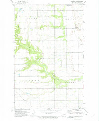
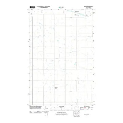
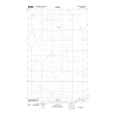
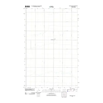
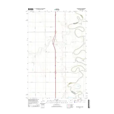
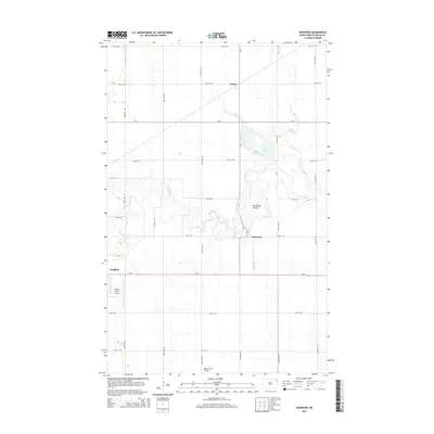
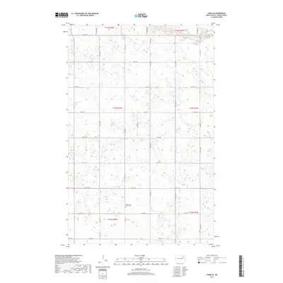
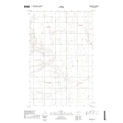
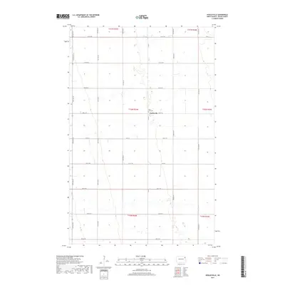
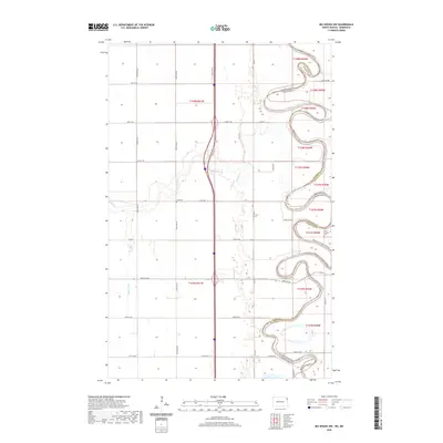
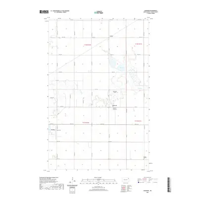
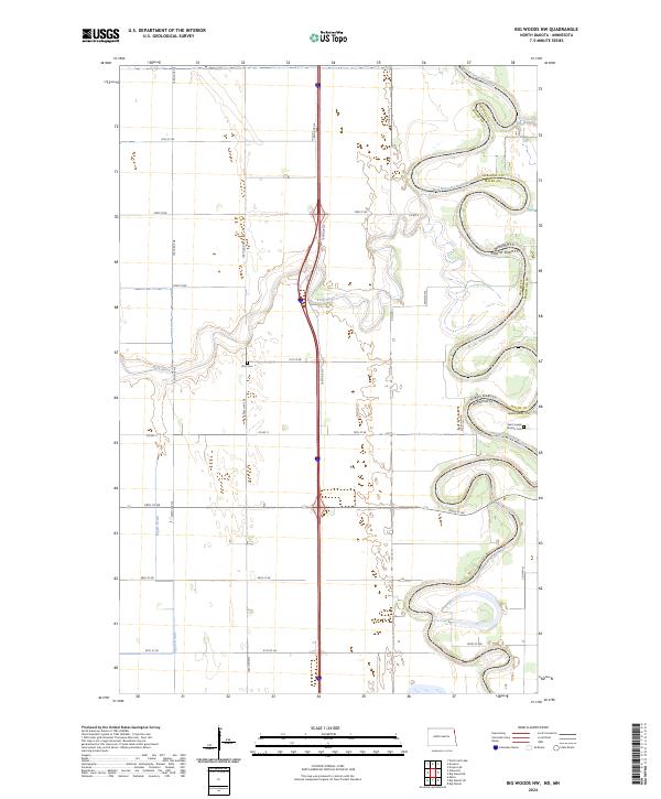
1960 Map of Big Woods NW
USGS Topo · Published 1981About this map
The Red River defines the border between North Dakota and Minnesota, its tightly winding meanders dominating this 1960s landscape near the border of Marshall and Walsh counties. The map documents a predominantly rural and agricultural setting divided into the civil townships of St Andrews and Acton. Local community life is anchored by landmarks like St Joseph Ch and Zion Cem, while School No 30 represents the era's rural education system.
Find a feature on this map
15 named features on this map. Tap any name to fly to it.
Don’t see what you’re looking for? This feature index may not catch every label — zoom into the map to look around manually.
Map Details
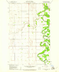
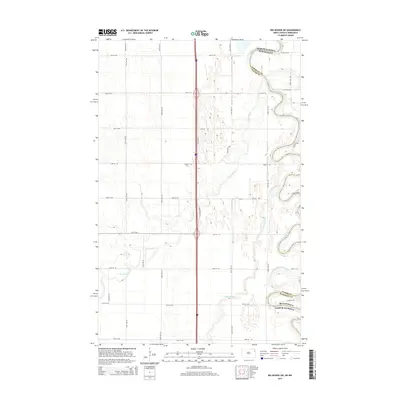
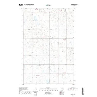
Editions of this 1960 Big Woods NW Map
2 editions found
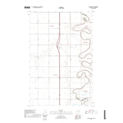
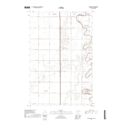
Historical Maps of Marshall County Through Time
61 maps found
1918 Acton
Walsh County, ND
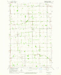
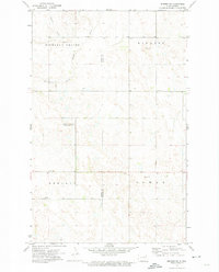
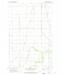
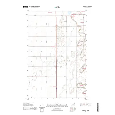
1960 Big Woods NW
Walsh County, ND
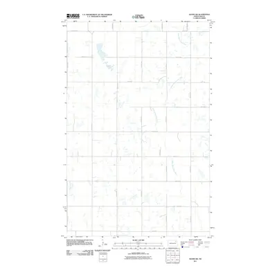
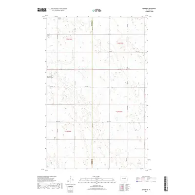
1960 Oakwood
Walsh County, ND
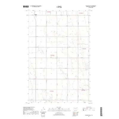
1963 Pleasant Valley
Walsh County, ND
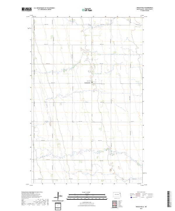
1963 Veseleyville
Walsh County, ND
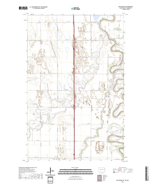
1966 Big Woods SW
Walsh County, ND
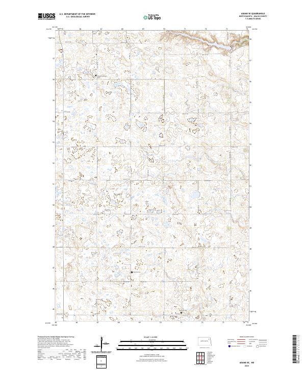
1972 Adams SE
Walsh County, ND
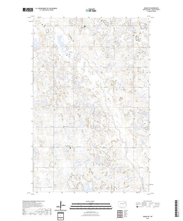
1972 Adams SW
Walsh County, ND
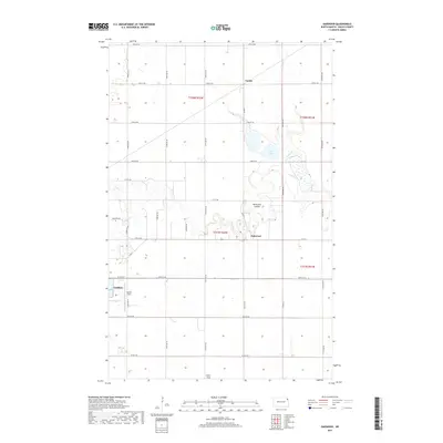
1972 Edinburg NW
Walsh County, ND
1972 Edmore NE
Walsh County, ND
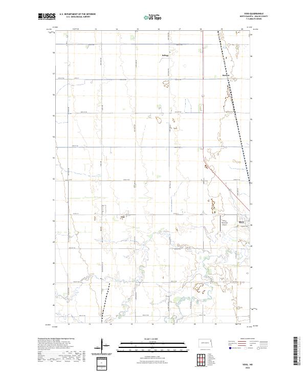
1972 Voss
Walsh County, ND
2011 Adams SE
Walsh County, ND
2011 Adams SW
Walsh County, ND
2011 Big Woods NW
Walsh County, ND
2011 Big Woods SW
Walsh County, ND
2011 Edinburg NW
Walsh County, ND
2011 Edmore NE
Walsh County, ND
2011 Oakwood
Walsh County, ND
2011 Pleasant Valley
Walsh County, ND
2011 Veseleyville
Walsh County, ND
2011 Voss
Walsh County, ND
2014 Adams SE
Walsh County, ND
2014 Adams SW
Walsh County, ND
2014 Big Woods NW
Walsh County, ND
2014 Big Woods SW
Walsh County, ND
2014 Edinburg NW
Walsh County, ND
2014 Edmore NE
Walsh County, ND
2014 Oakwood
Walsh County, ND
2014 Pleasant Valley
Walsh County, ND
2014 Veseleyville
Walsh County, ND
2014 Voss
Walsh County, ND
2017 Adams SE
Walsh County, ND
2017 Adams SW
Walsh County, ND
2017 Big Woods NW
Walsh County, ND
2017 Big Woods SW
Walsh County, ND
2017 Edinburg NW
Walsh County, ND
2017 Edmore NE
Walsh County, ND
2017 Oakwood
Walsh County, ND
2017 Pleasant Valley
Walsh County, ND
2017 Veseleyville
Walsh County, ND
2017 Voss
Walsh County, ND
2020 Adams SE
Walsh County, ND
2020 Adams SW
Walsh County, ND
2020 Big Woods NW
Walsh County, ND
2020 Big Woods SW
Walsh County, ND
2020 Edinburg NW
Walsh County, ND
2020 Edmore NE
Walsh County, ND
2020 Oakwood
Walsh County, ND
2020 Pleasant Valley
Walsh County, ND
2020 Veseleyville
Walsh County, ND
2020 Voss
Walsh County, ND
2024 Adams SE
Walsh County, ND
2024 Adams SW
Walsh County, ND
2024 Big Woods NW
Walsh County, ND
2024 Big Woods SW
Walsh County, ND
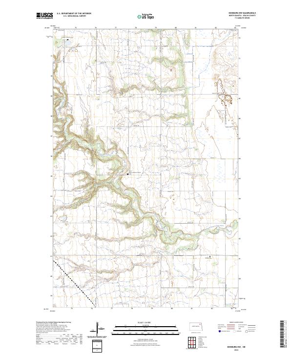
2024 Edinburg NW
Walsh County, ND
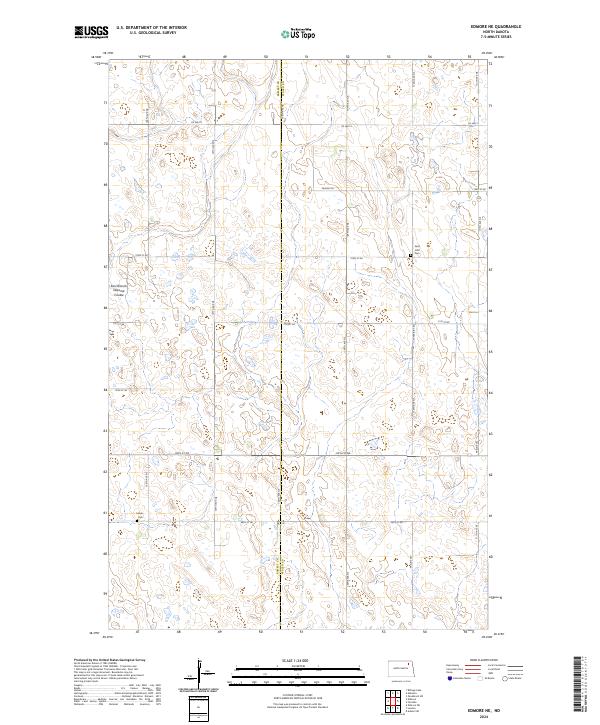
2024 Edmore NE
Walsh County, ND
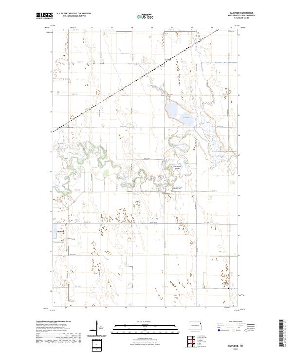
2024 Oakwood
Walsh County, ND
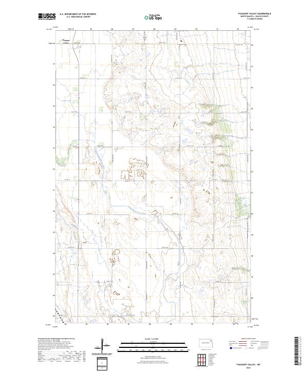
2024 Pleasant Valley
Walsh County, ND
2024 Veseleyville
Walsh County, ND
2024 Voss
Walsh County, ND